Latitude: 51.4696 / 51°28'10"N
Longitude: -2.5845 / 2°35'4"W
OS Eastings: 359498
OS Northings: 174673
OS Grid: ST594746
Mapcode National: GBR CBD.F1
Mapcode Global: VH88N.5B18
Plus Code: 9C3VFC98+R6
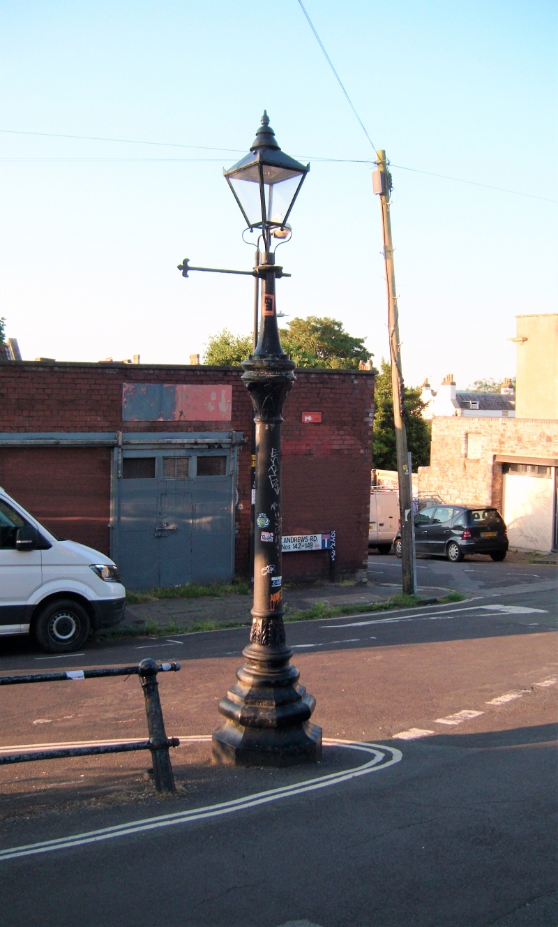
Entry Name: Lamp Post on Corner at North East End
Listing Date: 30 December 1994
Grade: II
Source: Historic England
Source ID: 1282134
English Heritage Legacy ID: 380398
ID on this website: 101282134
Location: Montpelier, Bristol, BS6
County: City of Bristol
Electoral Ward/Division: Ashley
Parish: Non Civil Parish
Built-Up Area: Bristol
Traditional County: Gloucestershire
Lieutenancy Area (Ceremonial County): Bristol
Church of England Parish: Bishopston and St Andrews
Church of England Diocese: Bristol
Tagged with: Streetlight
BRISTOL
ST5974 ST ANDREW'S ROAD, Montpelier 901-1/36/1601 Lamp post on corner at north-east end
II
Lamp post. Late C19, restored 1992. Cast-iron. A moulded octagonal base, shaft with foliate cap, switch bars and glazed lantern.
Listing NGR: ST5949874673
External links are from the relevant listing authority and, where applicable, Wikidata. Wikidata IDs may be related buildings as well as this specific building. If you want to add or update a link, you will need to do so by editing the Wikidata entry.


Other nearby listed buildings