Approximate Location Map
Large Map »
Latitude: 51.4574 / 51°27'26"N
Longitude: -2.611 / 2°36'39"W
OS Eastings: 357642
OS Northings: 173330
OS Grid: ST576733
Mapcode National: GBR C4J.HF
Mapcode Global: VH88M.PMJN
Plus Code: 9C3VF94Q+WH
Entry Name: Front Garden Walls and Piers to Number 16
Listing Date: 30 December 1994
Grade: II
Source: Historic England
Source ID: 1282166
English Heritage Legacy ID: 380344
ID on this website: 101282166
Location: Victoria Park, Bristol, BS8
County: City of Bristol
Electoral Ward/Division: Clifton
Parish: Non Civil Parish
Built-Up Area: Bristol
Traditional County: Gloucestershire
Lieutenancy Area (Ceremonial County): Bristol
Church of England Parish: Clifton, St Paul
Church of England Diocese: Bristol
Tagged with: Wall
BRISTOL
ST5773SE RICHMOND HILL, Clifton
901-1/9/982 (South side)
Front garden walls and piers to
No.16
GV II
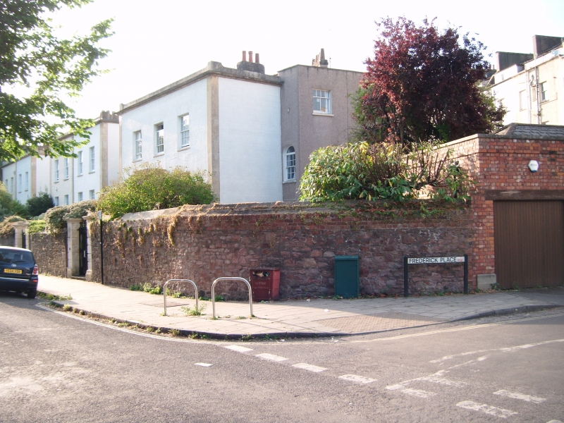
Walls and piers. Early C19. Limestone ashlar, red Pennant
rubble walls. Rusticated, capped piers, C20 gates and rubble
walls.
Listing NGR: ST5764273330
External links are from the relevant listing authority and, where applicable, Wikidata. Wikidata IDs may be related buildings as well as this specific building. If you want to add or update a link, you will need to do so by editing the Wikidata entry.


Other nearby listed buildings
