Latitude: 54.5403 / 54°32'25"N
Longitude: -1.9246 / 1°55'28"W
OS Eastings: 404974
OS Northings: 516117
OS Grid: NZ049161
Mapcode National: GBR HH0Y.36
Mapcode Global: WHB4L.D4RN
Plus Code: 9C6WG3RG+45
Entry Name: Numbers 4 and 6 and Attached Rear Wall
Listing Date: 22 February 1973
Grade: II
Source: Historic England
Source ID: 1282557
English Heritage Legacy ID: 388837
ID on this website: 101282557
Location: Startforth, County Durham, DL12
County: County Durham
Civil Parish: Barnard Castle
Built-Up Area: Barnard Castle
Traditional County: Durham
Lieutenancy Area (Ceremonial County): County Durham
Church of England Parish: Barnard Castle with Whorlton
Church of England Diocese: Durham
Tagged with: Building
BARNARD CASTLE
NZ0416SE THORNGATE 770-1/5/209 (East side) 22/02/73 Nos.4 AND 6 and attached rear wall
GV II
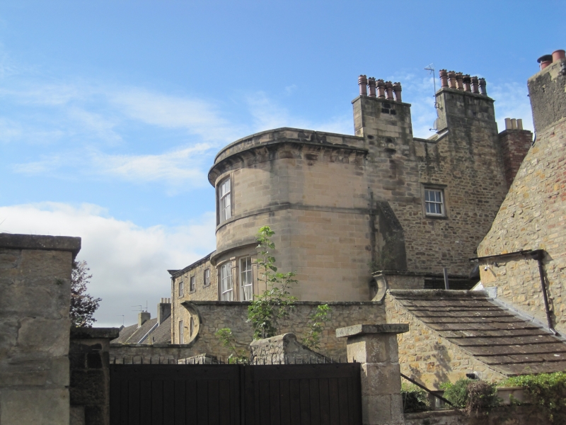
House, now 2 houses, with attached rear outhouses and wall. Mid C18 with C19 alterations. Painted coursed stone with painted ashlar dressings; roof of renewed stone slates with stone gable coping and brick chimneys. 3 storeys; 4-window range. Central 6-panel doors, upper panels glazed, in painted tooled surrounds; the right in third bay, the left immediately adjacent to it at right of second bay. C19 canted bay windows flanking doors have cornices and upper glazing bars. Painted plain stone surrounds to 6-pane sashes of almost square shape on first floor and smaller Yorkshire sliding sashes on second. Roof has right gable coping, the left overlaid by adjacent house, and both ends have moulded kneelers. Rear outbuildings have stone slate roofs. INTERIOR: not inspected. SUBSIDIARY FEATURES: high rear wall has flat stone coping.
Listing NGR: NZ0497416117
External links are from the relevant listing authority and, where applicable, Wikidata. Wikidata IDs may be related buildings as well as this specific building. If you want to add or update a link, you will need to do so by editing the Wikidata entry.


Other nearby listed buildings