Latitude: 51.7031 / 51°42'11"N
Longitude: -1.1811 / 1°10'52"W
OS Eastings: 456685
OS Northings: 200798
OS Grid: SP566007
Mapcode National: GBR 8ZT.27L
Mapcode Global: VHCY2.GGY8
Plus Code: 9C3WPR39+6H
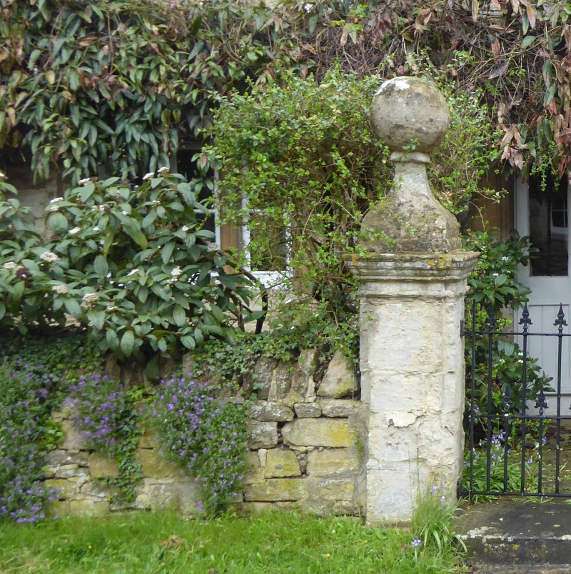
Entry Name: The Manor House Southern Pair of Gate Piers Approximately 2 Metres to East
Listing Date: 18 July 1963
Last Amended: 19 August 1986
Grade: II
Source: Historic England
Source ID: 1285931
English Heritage Legacy ID: 248419
ID on this website: 101285931
Location: Toot Baldon, South Oxfordshire, OX44
County: Oxfordshire
District: South Oxfordshire
Civil Parish: Toot Baldon
Traditional County: Oxfordshire
Lieutenancy Area (Ceremonial County): Oxfordshire
Church of England Parish: Marsh Baldon with Toot Baldon and Nuneham Courtenay
Church of England Diocese: Oxford
Tagged with: Architectural structure
TOOT BALDON SP5600 8/181 The Manor House, southern of 18/07/63 pair of gatepiers approx. 2n. to east (Formerly listed as Manor House and gatepiers)
GV II
Gatepier. C17. Limestone ashlar. Low pier has a richly-moulded cornice, breaking around shallow projections on each face. The large ogee-shaped cap terminates with a stone ball. One of a pair of gatepiers flanking the entrance path to the Manor House (q.v.).
Listing NGR: SP5668500798
External links are from the relevant listing authority and, where applicable, Wikidata. Wikidata IDs may be related buildings as well as this specific building. If you want to add or update a link, you will need to do so by editing the Wikidata entry.


Other nearby listed buildings