Approximate Location Map
Large Map »
Latitude: 53.6206 / 53°37'14"N
Longitude: -1.7648 / 1°45'53"W
OS Eastings: 415655
OS Northings: 413813
OS Grid: SE156138
Mapcode National: GBR JV3K.QV
Mapcode Global: WHCB7.V8S6
Plus Code: 9C5WJ6CP+73
Entry Name: Barn Adjoining Number 36 Lumb
Listing Date: 15 October 1975
Grade: II
Source: Historic England
Source ID: 1288006
English Heritage Legacy ID: 340199
ID on this website: 101288006
Location: Kirklees, HD4
County: Kirklees
Electoral Ward/Division: Almondbury
Parish: Non Civil Parish
Traditional County: Yorkshire
Lieutenancy Area (Ceremonial County): West Yorkshire
Church of England Parish: Almondbury with Farnley Tyas Team Parish
Church of England Diocese: Leeds
Tagged with: Barn
1.
5113
SE 1513
48/875
15.10.75
LUMB LANE
(North Side)
Almondbury
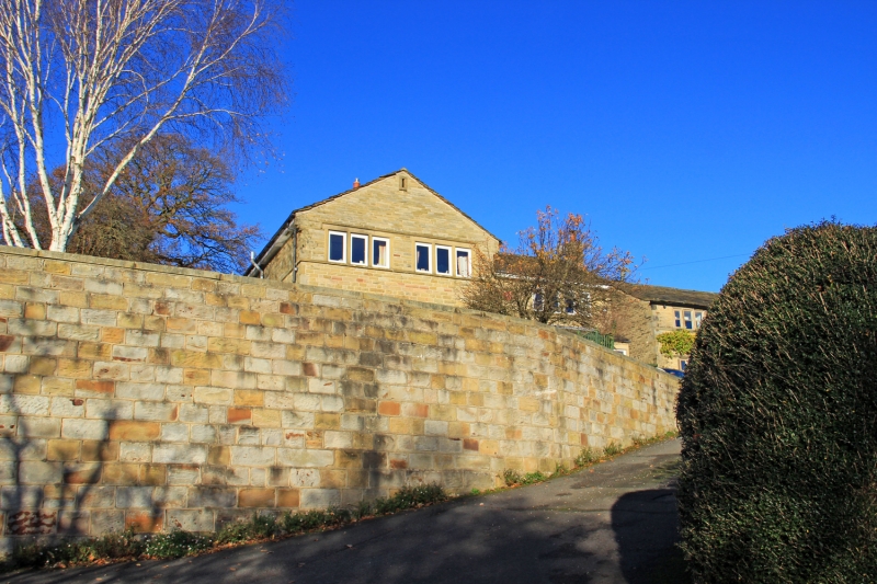
Barn adjoining No 36 Lumb
II
GV
2.
C18. Rubble. One king post and one queen post truss. Segment-headed arch on west side. Various other openings.
Listing NGR: SE1565513813
This text is from the original listing, and may not necessarily reflect the current setting of the building.
External links are from the relevant listing authority and, where applicable, Wikidata. Wikidata IDs may be related buildings as well as this specific building. If you want to add or update a link, you will need to do so by editing the Wikidata entry.


Other nearby listed buildings
