Approximate Location Map
Large Map »
Latitude: 53.1373 / 53°8'14"N
Longitude: -1.1984 / 1°11'54"W
OS Eastings: 453725
OS Northings: 360315
OS Grid: SK537603
Mapcode National: GBR 8FC.9TX
Mapcode Global: WHDFZ.KDKQ
Plus Code: 9C5W4RP2+WM
Entry Name: Field Mill House
Listing Date: 17 March 1978
Grade: II
Source: Historic England
Source ID: 1288344
English Heritage Legacy ID: 391741
ID on this website: 101288344
Location: Mansfield, Nottinghamshire, NG18
County: Nottinghamshire
District: Mansfield
Electoral Ward/Division: Portland
Parish: Non Civil Parish
Built-Up Area: Mansfield
Traditional County: Nottinghamshire
Lieutenancy Area (Ceremonial County): Nottinghamshire
Church of England Parish: Mansfield St Mark
Church of England Diocese: Southwell and Nottingham
Tagged with: House
MANSFIELD
SK5360 NOTTINGHAM ROAD
924-1/7/90 (West side (off))
17/03/78 Field Mill House
II
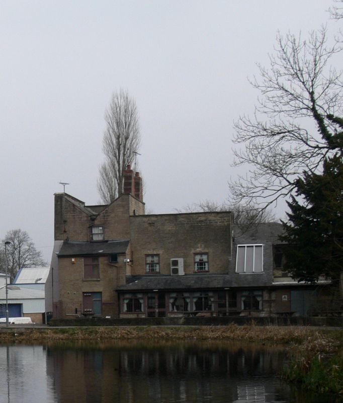
House, now public house. Mid C18 and c1800, partly demolished
and the remainder restored and extended, late C20. Coursed
squared stone, partly roughcast, with ashlar dressings and
gabled and hipped slate roofs. 2 restored stepped brick side
wall stacks. Plain coped parapets and single coped gable.
2 and 3 storeys; 4-window range. Main block has three 12-pane
sashes and below, 2 similar windows, boarded up. All these
windows have projecting stone surrounds. To right, steps to a
renewed round-arched 6-panel door with fanlight. To right, a
3-storey block with a tripartite plain sash and above, a
single plain sash. Below, a single window, boarded up. To
left, late C20 two-storey addition with four 2-light windows,
and below, a full-width hipped porch with square piers,
covering off-centre entrance. Blank roughcast right return has
3 buttresses. Rear has off-centre 2-storey lean-to projection
with a window on each floor.
Listing NGR: SK5372560315
External links are from the relevant listing authority and, where applicable, Wikidata. Wikidata IDs may be related buildings as well as this specific building. If you want to add or update a link, you will need to do so by editing the Wikidata entry.


Other nearby listed buildings
