Latitude: 53.143 / 53°8'34"N
Longitude: -1.1945 / 1°11'40"W
OS Eastings: 453973
OS Northings: 360958
OS Grid: SK539609
Mapcode National: GBR 8F5.YM2
Mapcode Global: WHDFZ.M8C9
Plus Code: 9C5W4RV4+65
Entry Name: The Old Maltings
Listing Date: 8 August 1975
Grade: II
Source: Historic England
Source ID: 1288423
English Heritage Legacy ID: 391731
ID on this website: 101288423
Location: Mansfield, Nottinghamshire, NG18
County: Nottinghamshire
District: Mansfield
Electoral Ward/Division: Portland
Parish: Non Civil Parish
Built-Up Area: Mansfield
Traditional County: Nottinghamshire
Lieutenancy Area (Ceremonial County): Nottinghamshire
Church of England Parish: Mansfield St Peter and St Paul
Church of England Diocese: Southwell and Nottingham
Tagged with: Architectural structure
MANSFIELD
SK5360 MIDWORTH STREET 924-1/7/72 (North side) 08/08/75 The Old Maltings
II
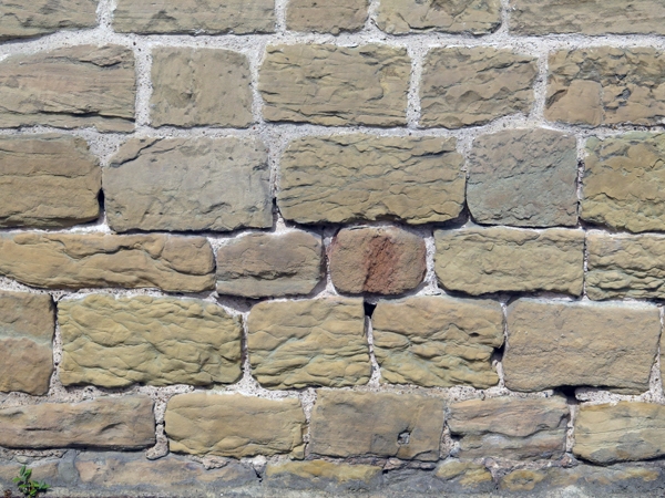
Also known as: Malt House Range MIDWORTH STREET. Former maltings, now nightclub. c1800, with late C20 alterations. Coursed squared stone with stone dressings and gabled and hipped slate roofs. 2 storeys. Openings are mainly square, and all have stone or concrete surrounds. Malthouse range has a long single-storey street front with a near-central late C20 door and 9 small openings, with their surrounds renewed in concrete. Left gable has a single blocked opening, and at the rear, an altered cart opening. Rear elevation has a symmetrical range of buildings flanked by kilns. Central hipped building with gabled roof ventilator and small front gable. On the first floor, 4 windows and above, a central window in the gable. Below, a central doorway flanked by single blocked openings and to left, a truncated square chimney stack. Beyond, on either side, 2 gables, the inner ones with single blocked openings in the peaks, the outer ones with 2 first-floor windows and below, a doorway on the inner side, flanked by a blocked window. Beyond again, square kilns, each with 3 windows. Left kiln has gabled roof vent. Below, door to right and 2 blocked openings to left. Right kiln has a tall, tapered roof cowl with square pyramidal cap. Single blocked opening to ground floor. Right return has a blocked opening and a C20 fire escape to right. Below, central round-arched opening to stokehole. (Buildings of England: Pevsner N & Williamson E: Nottinghamshire: Harmondsworth: 1979-: 172).
Listing NGR: SK5397360958
External links are from the relevant listing authority and, where applicable, Wikidata. Wikidata IDs may be related buildings as well as this specific building. If you want to add or update a link, you will need to do so by editing the Wikidata entry.


Other nearby listed buildings