Latitude: 50.3382 / 50°20'17"N
Longitude: -4.7928 / 4°47'34"W
OS Eastings: 201361
OS Northings: 52427
OS Grid: SX013524
Mapcode National: GBR ZX.9Y3Z
Mapcode Global: FRA 08V4.NLY
Plus Code: 9C2Q86Q4+7V
Entry Name: 3, Vicarage Hill
Listing Date: 11 March 1974
Grade: II
Source: Historic England
Source ID: 1289699
English Heritage Legacy ID: 396599
ID on this website: 101289699
Location: St Austell, Cornwall, PL25
County: Cornwall
Civil Parish: St Austell
Built-Up Area: St Austell
Traditional County: Cornwall
Lieutenancy Area (Ceremonial County): Cornwall
Church of England Parish: St Austell
Church of England Diocese: Truro
Tagged with: Building
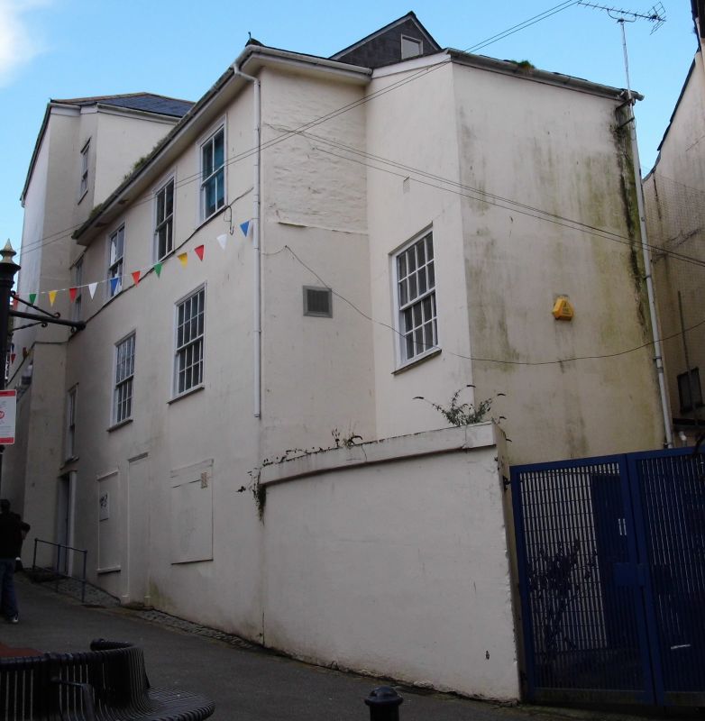
ST AUSTELL
1. VICARAGE HILL
1584A
No 3
SX 0152 1/531
II
2.
Early C19 stucco. 3 storeys, 3 sash windows in moulded cases, with glazing
bars. Central door, pilastered doorcase, rectangular fanlight, Slate
hipped roof.
Listing NGR: SX0136152427
External links are from the relevant listing authority and, where applicable, Wikidata. Wikidata IDs may be related buildings as well as this specific building. If you want to add or update a link, you will need to do so by editing the Wikidata entry.


Other nearby listed buildings