Latitude: 50.3384 / 50°20'18"N
Longitude: -4.7916 / 4°47'29"W
OS Eastings: 201449
OS Northings: 52446
OS Grid: SX014524
Mapcode National: GBR ZX.9YHJ
Mapcode Global: FRA 08V4.P3H
Plus Code: 9C2Q86Q5+99
Entry Name: Stone Cross in Churchyard
Listing Date: 28 November 1950
Grade: II
Source: Historic England
Source ID: 1289840
English Heritage Legacy ID: 396359
ID on this website: 101289840
Location: Holy Trinity Church, St Austell, Cornwall, PL25
County: Cornwall
Civil Parish: St Austell
Built-Up Area: St Austell
Traditional County: Cornwall
Lieutenancy Area (Ceremonial County): Cornwall
Church of England Parish: St Austell
Church of England Diocese: Truro
ST AUSTELL
1.
1584A
Stone Cross in
Churchyard
SX 0152 1/457 28.11.50.
II
2.
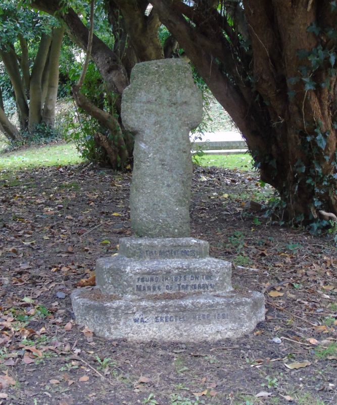
Found in 1879 on the Manor of Treverbyn. Erected in churchyard in 1891.
Small granite cross of about 2 ft 6 ins high. Crudely carved cross on
face. Mounted on granite plinth of late C19.
Listing NGR: SX0144952446


Other nearby listed buildings