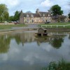
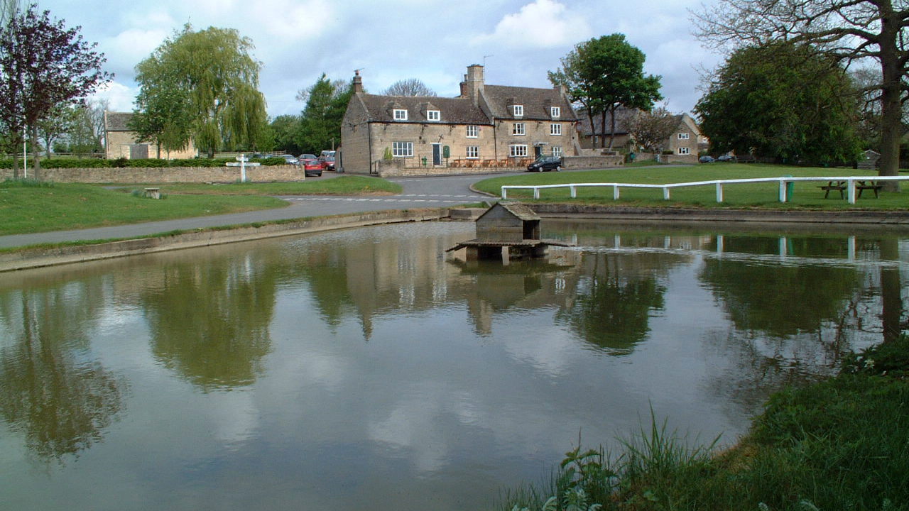
Exeter Arms, Barrowden, Rutland from the duck pond
Uploader's Comments
Barrowden is a parish of 1,813 acres on the Northamptonshire border of Rutland. The river Welland forms its southern and part of its eastern border, separating it from Wakerley in Northants. The village lies about a quarter of a mile south of the main A47 road from Uppingham to Peterborough. A branch road, called the Drift, leads north to South Luffenham, crossing the main road near the northern boundary of Barrowden. Just beyond the southern boundary, in Wakerley parish, is Wakerley and Barrowden station on the London Midland and Scottish Railway.
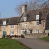
The population of the civil parish was 506 at the 2011 census. There is a church, a village hall, a doctor's surgery and pharmacy, a community shop, a mobile library, a recreational field with cricket club and a pub, The Exeter Arms.
The Rutland Round and Jurassic Way long-distance paths pass through the village. The photograph of the fenceless stile on a footpath was taken in February 2003. It has since been removed.
The village was served by Wakerley and Barrowden railway station from 1873 to 1966. The station was across the River Welland in the neighbouring parish of Wakerley, Northamptonshire. Barrowden is part of Ketton ward on Rutland County Council.
Uploaded by Kenneth Ince on 5 May 2022