Approximate Location Map
Large Map »
Latitude: 53.9628 / 53°57'46"N
Longitude: -2.7338 / 2°44'1"W
OS Eastings: 351952
OS Northings: 452110
OS Grid: SD519521
Mapcode National: GBR 9QBM.Y5
Mapcode Global: WH84M.ZNCD
Plus Code: 9C5VX778+4F
Entry Name: Milestone 10 Metres Se of Street Bridge
Listing Date: 9 January 1986
Grade: II
Source: Historic England
Source ID: 1318029
English Heritage Legacy ID: 185556
ID on this website: 101318029
Location: Street, Wyre, Lancashire, LA2
County: Lancashire
District: Wyre
Town: Wyre
Civil Parish: Nether Wyresdale
Traditional County: Lancashire
Lieutenancy Area (Ceremonial County): Lancashire
Church of England Parish: Barnacre All Saints
Church of England Diocese: Blackburn
Tagged with: Milestone
NETHER WYRESDALE
SD 55 SW
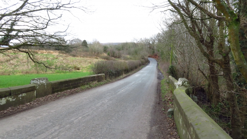
2/162 Milestone approx 10 metres SE of
- Street Bridge
- II
Milestone, probably later C18, sandstone. Rectangular on plan with rounded
top. Face inscribed: '7'.
Listing NGR: SD5195252110
External links are from the relevant listing authority and, where applicable, Wikidata. Wikidata IDs may be related buildings as well as this specific building. If you want to add or update a link, you will need to do so by editing the Wikidata entry.


Other nearby listed buildings
