Approximate Location Map
Large Map »
Latitude: 50.8002 / 50°48'0"N
Longitude: -3.1874 / 3°11'14"W
OS Eastings: 316415
OS Northings: 100748
OS Grid: ST164007
Mapcode National: GBR LX.YY0R
Mapcode Global: FRA 466Z.B24
Plus Code: 9C2RRR27+32
Entry Name: 73-77, High Street
Listing Date: 21 March 1972
Grade: II
Source: Historic England
Source ID: 1319695
English Heritage Legacy ID: 442565
ID on this website: 101319695
Location: Honiton, East Devon, EX14
County: Devon
District: East Devon
Civil Parish: Honiton
Built-Up Area: Honiton
Traditional County: Devon
Lieutenancy Area (Ceremonial County): Devon
Church of England Parish: Honiton with Monkton
Church of England Diocese: Exeter
Tagged with: Building
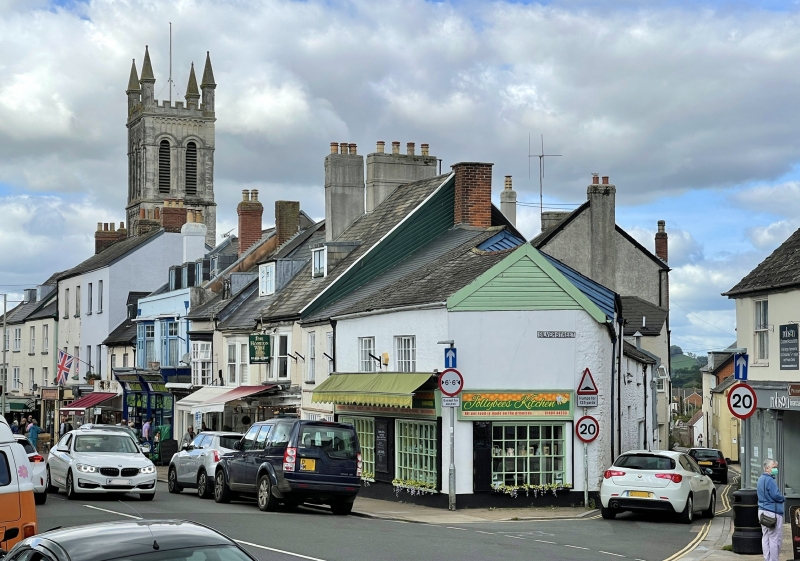
1. HIGH STREET
1228 (North Side)
Nos 75 to 77 (odd)
ST 1600 1/32
II GV
2.
C18 or early C19 altered, rouglmast cottages with slate roofs, 2 storey,
4 windows at 1st floor with glazing bars (casements and sashes) mainly with
flush frames. Plinth. Entrances with solid door frames.
Nos 73 to 101 (odd) and Allhallows Chapel form a group
Listing NGR: ST1641500751
External links are from the relevant listing authority and, where applicable, Wikidata. Wikidata IDs may be related buildings as well as this specific building. If you want to add or update a link, you will need to do so by editing the Wikidata entry.


Other nearby listed buildings
