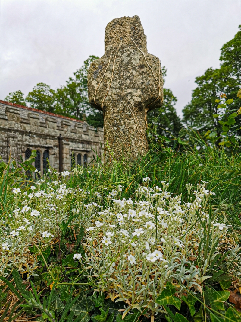
Latitude: 50.7946 / 50°47'40"N
Longitude: -3.9418 / 3°56'30"W
OS Eastings: 263238
OS Northings: 101245
OS Grid: SS632012
Mapcode National: GBR KW.ZC6Z
Mapcode Global: FRA 26MZ.XV2
Plus Code: 9C2RQ3V5+R7
Entry Name: Churchyard Cross
Listing Date: 8 October 1987
Grade: II
Source: Historic England
Source ID: 1326488
English Heritage Legacy ID: 93056
ID on this website: 101326488
Location: St Andrew's Church, Sampford Courtenay, West Devon, EX20
County: Devon
District: West Devon
Civil Parish: Sampford Courtenay
Traditional County: Devon
Lieutenancy Area (Ceremonial County): Devon
Church of England Parish: Sampford Courtenay St Andrew
Church of England Diocese: Exeter
SAMPFORD COURTENAY SAMPFORD COURTENAY SS 60 SW 11/173 Churchyard Cross GV II Churchyard Cross. Late medieval. Granite. Small Latin cross (most of the shaft is missing) with chamfered edges set in large raised granite octagonal base with chamfered soffit.
Listing NGR: SS6323801245


Other nearby listed buildings