Approximate Location Map
Large Map »
Latitude: 53.1731 / 53°10'23"N
Longitude: -1.2478 / 1°14'51"W
OS Eastings: 450378
OS Northings: 364259
OS Grid: SK503642
Mapcode National: GBR 8DX.3CD
Mapcode Global: WHDFR.TH0T
Plus Code: 9C5W5QF2+6V
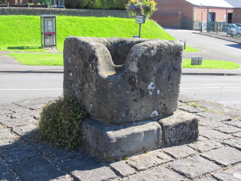
Entry Name: Pleasley Cross
Listing Date: 8 July 1966
Grade: II
Source: Historic England
Source ID: 1335432
English Heritage Legacy ID: 79308
ID on this website: 101335432
Location: Pleasley, Bolsover, Derbyshire, NG19
County: Derbyshire
District: Bolsover
Civil Parish: Pleasley
Built-Up Area: Mansfield
Traditional County: Derbyshire
Lieutenancy Area (Ceremonial County): Derbyshire
Church of England Parish: Pleasley St Michael
Church of England Diocese: Derby
Tagged with: Architectural structure High cross
SK 56 SW PARISH OF PLEASLEY NEWBOUNDMILL LANE
11/139
8.7.66 Pleasley Cross
II
Cross. Probably C14. Sandstone. Plinth, square in plan, of three steps, surmounted by
a smaller plinth and square base of the cross.
Listing NGR: SK5037864259
External links are from the relevant listing authority and, where applicable, Wikidata. Wikidata IDs may be related buildings as well as this specific building. If you want to add or update a link, you will need to do so by editing the Wikidata entry.


Other nearby listed buildings
