Latitude: 51.4523 / 51°27'8"N
Longitude: 0.2889 / 0°17'20"E
OS Eastings: 559139
OS Northings: 175071
OS Grid: TQ591750
Mapcode National: GBR X5.CHM
Mapcode Global: VHHNV.YRMK
Plus Code: 9F32F72Q+WH
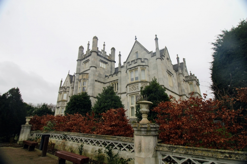
Entry Name: Terrace Wall to North of Ingress Abbey
Listing Date: 17 March 1982
Grade: II
Source: Historic England
Source ID: 1336475
English Heritage Legacy ID: 172723
ID on this website: 101336475
Location: Swanscombe, Dartford, Kent, DA9
County: Kent
District: Dartford
Civil Parish: Swanscombe and Greenhithe
Built-Up Area: Swanscombe
Traditional County: Kent
Lieutenancy Area (Ceremonial County): Kent
Church of England Parish: Greenhithe St Mary
Church of England Diocese: Rochester
Tagged with: Wall
1.
5274
TQ 57 NE
1/87
SWANSCOMBE AND GREENHITHE
THE AVENUE
(east side)
Greenhithe
Terrace wall to north of Ingress Abbey
II
GV
2.
Circa 1830. Pierced stone wall and steps in the centre of the north front, flanked
by statues of lions passant on pedestals.
Listing NGR: TQ5913975071
External links are from the relevant listing authority and, where applicable, Wikidata. Wikidata IDs may be related buildings as well as this specific building. If you want to add or update a link, you will need to do so by editing the Wikidata entry.


Other nearby listed buildings