Latitude: 51.1531 / 51°9'11"N
Longitude: 0.4409 / 0°26'27"E
OS Eastings: 570799
OS Northings: 142152
OS Grid: TQ707421
Mapcode National: GBR NR4.Q7Z
Mapcode Global: VHJMY.L8FV
Plus Code: 9F325C3R+78
Entry Name: Rams Hill
Listing Date: 10 October 1989
Grade: II
Source: Historic England
Source ID: 1338763
English Heritage Legacy ID: 169908
ID on this website: 101338763
Location: Yew Tree Green, Tunbridge Wells, Kent, TN12
County: Kent
District: Tunbridge Wells
Civil Parish: Horsmonden
Traditional County: Kent
Lieutenancy Area (Ceremonial County): Kent
Church of England Parish: Horsmonden St Margaret
Church of England Diocese: Rochester
Tagged with: Architectural structure
HORSMONDEN MAIDSTONE ROAD TQ 74 SW (east side) 1/74 Rams Hill II
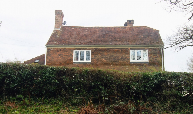
House. C17 or earlier altered and extended C18-C20. Timber framed and clad and extended on ground floor with red brick, in part in English Bond, and sandstone with tile hung first floor. Plain tiled roofs. Irregular plan, the front range of 2 storeys and garret on stone plinth with roof half-hipped to right and gabled to left with stack. Two metal casements and wooden casement on first floor and casement and French doors on ground floor. Right return formed of gable end of front elevation and 2 storey hipped rear wing on stone plinth with stepped stack cluster, and half-hipped cross wing to rear of that, the base in stone. Irregular wooden casements and half glazed door to right. Single storey brick extensions to rear. Present main entry by rib and stud door to left return in flat roofed C20 stone and tile hung porch.
Listing NGR: TQ7079942152
External links are from the relevant listing authority and, where applicable, Wikidata. Wikidata IDs may be related buildings as well as this specific building. If you want to add or update a link, you will need to do so by editing the Wikidata entry.


Other nearby listed buildings