Approximate Location Map
Large Map »
Latitude: 52.3893 / 52°23'21"N
Longitude: -1.7352 / 1°44'6"W
OS Eastings: 418115
OS Northings: 276839
OS Grid: SP181768
Mapcode National: GBR 4JG.04B
Mapcode Global: VH9ZK.W60Q
Plus Code: 9C4W97Q7+PW
Entry Name: 1624-1628, Warwick Road
Listing Date: 22 July 1976
Grade: II
Source: Historic England
Source ID: 1342880
English Heritage Legacy ID: 218333
ID on this website: 101342880
Location: Knowle, Solihull, West Midlands, B93
County: Solihull
Electoral Ward/Division: Knowle
Parish: Non Civil Parish
Built-Up Area: Solihull
Traditional County: Warwickshire
Lieutenancy Area (Ceremonial County): West Midlands
Church of England Parish: Knowle
Church of England Diocese: Birmingham
Tagged with: Building
SOLIHULL KNOWLE
1.
5108
(High Street)
WARWICK ROAD
(South-West Side)
Nos 1624 to 1628 (even)
SP 1876 20/424
II GV
2.
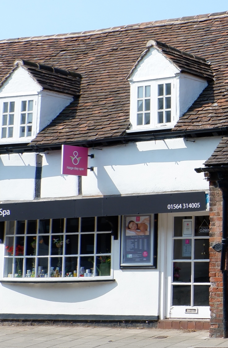
C17 or C18. Timber frame with plaster infilling. Ground floor mainly stucco faced.
Tiled roof with 4 gabled casement dormers. 1 storey and half attic 1st floor.
Shops with bay window and 3 oriel segmental bow windows.
Nos 1622 to 1628 (even) form a group.
Listing NGR: SP1811676836
External links are from the relevant listing authority and, where applicable, Wikidata. Wikidata IDs may be related buildings as well as this specific building. If you want to add or update a link, you will need to do so by editing the Wikidata entry.


Other nearby listed buildings
