Latitude: 52.7075 / 52°42'26"N
Longitude: -2.7519 / 2°45'6"W
OS Eastings: 349297
OS Northings: 312465
OS Grid: SJ492124
Mapcode National: GBR BJ.2H63
Mapcode Global: WH8BT.P6SQ
Plus Code: 9C4VP64X+X7
Entry Name: 11 and 12, St Alkmond's Square
Listing Date: 10 January 1953
Grade: II
Source: Historic England
Source ID: 1344938
English Heritage Legacy ID: 458008
ID on this website: 101344938
Location: Shrewsbury, Shropshire, SY1
County: Shropshire
Civil Parish: Shrewsbury
Built-Up Area: Shrewsbury
Traditional County: Shropshire
Lieutenancy Area (Ceremonial County): Shropshire
Church of England Parish: Shrewsbury St Alkmund
Church of England Diocese: Lichfield
Tagged with: Building
SHREWSBURY
SJ4912SW ST ALKMOND'S SQUARE 653-1/15/529 (South side) 10/01/53 Nos.11 AND 12
GV II
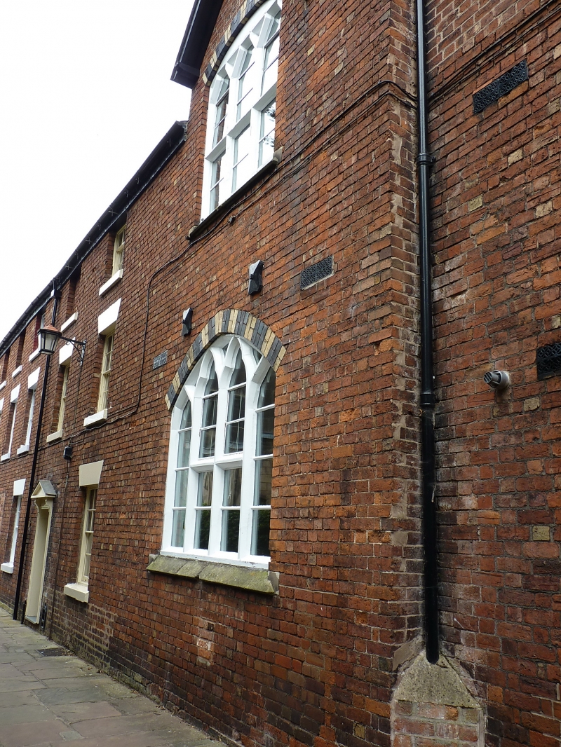
Pair of houses. c1800. Brick with Welsh slate roof hipped to left-hand gable. 3 storeys, 5-window range. 2 doorways in architraves with pedimented hoods and the blocking of a further former doorway. Blind window space to left, and two 12-pane sash windows with flat-arched stuccoed heads flanking the right-hand door. First-floor windows all of similar design, and two 9-pane sashes to second storey, the other window spaces blank. A single 12-pane sash on each floor in side elevation to north. Side wall stacks. Forms a single build with No.10 (qv).
Listing NGR: SJ4929712465
External links are from the relevant listing authority and, where applicable, Wikidata. Wikidata IDs may be related buildings as well as this specific building. If you want to add or update a link, you will need to do so by editing the Wikidata entry.


Other nearby listed buildings