Approximate Location Map
Large Map »
Latitude: 51.3441 / 51°20'38"N
Longitude: 0.3705 / 0°22'13"E
OS Eastings: 565196
OS Northings: 163229
OS Grid: TQ651632
Mapcode National: GBR NNQ.QHV
Mapcode Global: VHJLY.CGRY
Plus Code: 9F3289VC+M6
Entry Name: Old Pond House
Listing Date: 21 November 1966
Last Amended: 26 July 1983
Grade: II
Source: Historic England
Source ID: 1350237
English Heritage Legacy ID: 356805
ID on this website: 101350237
Location: Harvel, Gravesham, Kent, DA13
County: Kent
District: Gravesham
Civil Parish: Meopham
Traditional County: Kent
Lieutenancy Area (Ceremonial County): Kent
Church of England Parish: Meopham St John the Baptist
Church of England Diocese: Rochester
Tagged with: House Thatched cottage
TQ 66 SE MEOPHAM HARVEL STREET
8/76
21.11.66 Old Pond House
(formerly listed as
Old Pond Farm House)
II
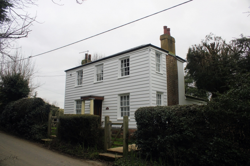
Late C15 timber-framed "hall" house with plaster panels and curved braces. Ground
floor faced red brick with blue headers. Hipped thatched roof and thatched porch.
Casement windows and hipped dormers. Central chimney stack.
Listing NGR: TQ6514163196
External links are from the relevant listing authority and, where applicable, Wikidata. Wikidata IDs may be related buildings as well as this specific building. If you want to add or update a link, you will need to do so by editing the Wikidata entry.


Other nearby listed buildings
