Latitude: 53.3074 / 53°18'26"N
Longitude: -1.3642 / 1°21'51"W
OS Eastings: 442462
OS Northings: 379132
OS Grid: SK424791
Mapcode National: GBR LZX6.G2
Mapcode Global: WHDF4.04N8
Plus Code: 9C5W8J4P+X8
Entry Name: 131, 133 and 135, High Street
Listing Date: 1 August 1975
Grade: II
Source: Historic England
Source ID: 1367027
English Heritage Legacy ID: 79569
ID on this website: 101367027
Location: Eckington, North East Derbyshire, S21
County: Derbyshire
District: North East Derbyshire
Civil Parish: Eckington
Built-Up Area: Eckington
Traditional County: Derbyshire
Lieutenancy Area (Ceremonial County): Derbyshire
Church of England Parish: Eckington and Ridgeway
Church of England Diocese: Derby
Tagged with: Building
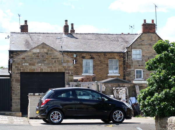
PARISH OF ECKINGTON HIGH STREET SK 47"NW 7/90 Nos 131,133 and 135 High Street 1.8.75 II Range of three houses. Mid C18, with later range to rear. Regularly coursed coal measures sandstone with ashlar dressings, now all painted, advanced quoins, coped gables and moulded kneelers, gable brick stacks and a Welsh slated roof. L-plan, with principal elevation to street frontage. North elevation. Three storeys, three bays, central door with moulded shallow cornice. Four panel door, the upper two panels glazed. Stacked windows in band surrounds, formerly flush mullioned, now with coupled sash windows to ground and first floors, and shallower windows with single glazing bars to second floor. Plain bands link window heads to each floor.
Listing NGR: SK4246279132
External links are from the relevant listing authority and, where applicable, Wikidata. Wikidata IDs may be related buildings as well as this specific building. If you want to add or update a link, you will need to do so by editing the Wikidata entry.


Other nearby listed buildings