Latitude: 52.5307 / 52°31'50"N
Longitude: -2.4266 / 2°25'35"W
OS Eastings: 371158
OS Northings: 292617
OS Grid: SO711926
Mapcode National: GBR BY.FRBB
Mapcode Global: VH83H.WNJC
Plus Code: 9C4VGHJF+79
Entry Name: Oldbury Wells School (East)
Listing Date: 30 March 1993
Grade: II
Source: Historic England
Source ID: 1367610
English Heritage Legacy ID: 255103
ID on this website: 101367610
Location: Castle Hill, Shropshire, WV16
County: Shropshire
Civil Parish: Bridgnorth
Built-Up Area: Bridgnorth
Traditional County: Shropshire
Lieutenancy Area (Ceremonial County): Shropshire
Church of England Parish: Oldbury
Church of England Diocese: Hereford
Tagged with: Architectural structure
BRIDGNORTH BRIDGNORTH OLDBERY WELLS SO 79 SW
823/1/10014 Oldbury Wells School (East)
II
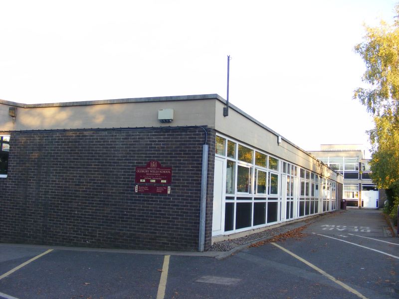
Secondary school, formerly secondary modern school for boys. 1958. Lyons, Israel and Ellis. Board-marked concrete frame and pre-cast concrete panels, brick and opaque solid panels; flat roof, except for single storey workshops which have mono- pitched roofs as do outer edges of hall roof. One and two storeys with central double-height assembly hall and double- height library, formerly small assembly hall on one side of internal courtyard and classrooms on the other. Further classrooms in two storey band around assembly hall and in wing to north-east. Gym to south-east. Strip windows with solid panels below; painted metal frames. Pair of circular features in concrete with canted tops project at roof level between the hall and library. Assertive boiler house chimney is made a feature of the central court. Internal surfaces of exposed brick and board-marked concrete. A. Forsyth and D. Gray, Lyons, Israel, Ellis Gray.
Listing NGR: SO7115892617
External links are from the relevant listing authority and, where applicable, Wikidata. Wikidata IDs may be related buildings as well as this specific building. If you want to add or update a link, you will need to do so by editing the Wikidata entry.


Other nearby listed buildings