Latitude: 51.4757 / 51°28'32"N
Longitude: -0.9139 / 0°54'50"W
OS Eastings: 475526
OS Northings: 175755
OS Grid: SU755757
Mapcode National: GBR C5J.HR7
Mapcode Global: VHDWV.35QK
Plus Code: 9C3XF3GP+7C
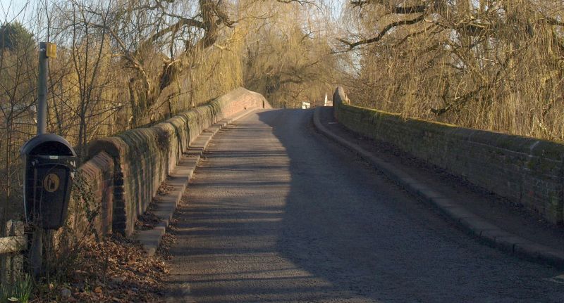
Entry Name: Bridge Across River Thames Approximately 120 Metres East of Sonning Mill
Listing Date: 13 February 1985
Grade: II
Source: Historic England
Source ID: 1369302
English Heritage Legacy ID: 247074
ID on this website: 101369302
Location: Sonning, South Oxfordshire, RG4
County: Oxfordshire
District: South Oxfordshire
Civil Parish: Eye and Dunsden
Built-Up Area: Woodley
Traditional County: Oxfordshire
Lieutenancy Area (Ceremonial County): Berkshire
Church of England Parish: Sonning
Church of England Diocese: Oxford
EYE AND DUNSDEN B478 SU77NE Sonning Eye 10/53 Bridge across River Thames approx 120 metres east of Sonning Mill GV II Road bridge. Built 1780-1790 and sketched in 1792 by Samuel Ireland. Brick, pla parapet. Large arch roughly in centre flanked by flat brick band and pilasters. 4 lower arches divided by cut-waters on the Oxfordshire side. 4 similar arches on the Berkshire side. (Buildings of England; Berkshire, p. 220: V.C.H. Berkshire III, p. 210)
Listing NGR: SU7552675755


Other nearby listed buildings