Latitude: 51.168 / 51°10'4"N
Longitude: 0.6208 / 0°37'14"E
OS Eastings: 583322
OS Northings: 144236
OS Grid: TQ833442
Mapcode National: GBR QTV.MRQ
Mapcode Global: VHJMV.QX10
Plus Code: 9F325J9C+58
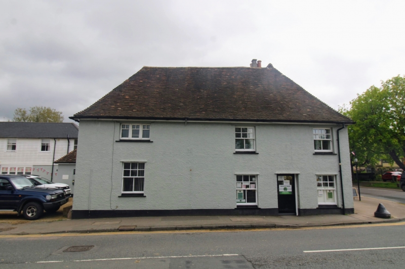
Entry Name: The Kings Arms Inn and Shop Adjoining to Right
Listing Date: 10 July 1973
Grade: II
Source: Historic England
Source ID: 1372096
English Heritage Legacy ID: 174287
ID on this website: 101372096
Location: Headcorn, Maidstone, Kent, TN27
County: Kent
District: Maidstone
Civil Parish: Headcorn
Built-Up Area: Headcorn
Traditional County: Kent
Lieutenancy Area (Ceremonial County): Kent
Tagged with: Pub
HEADCORN HIGH STREET TQ 8344 (North side) 10/63 The King's Arms Inn and Shop Adjoining to 10.7.73 Right
GV II
Inn. C18 or earlier with C19 alterations. Right wing chequered red and grey brick, rest pebbledashed. Plain tile roof. Built on corner. 2 storeys. Right wing 2 storeys and garret. Roof hipped to left, with gablet, hip returning. Right wing projects forwards slightly, with open-work bargeboards to front gable. Brick ridge stack towards left end of main range, and smaller one towards right end. Further brick stack to right side of right wing. Irregular fenestration of 4 12-pane sashes; 3 to main range and one with segmental head to right wing. 2 canted bays to ground floor of main range. Canted shop window with small rectangular panes to right wing with half-glazed door to left of it, all under plain- tiled pentice. Half-glazed door with flat bracketed hood to right of centre of main range. Rear return wing to left facing on to North Street and 2 further short rear wings to main range. Interior not inspected.
Listing NGR: TQ8331944236
External links are from the relevant listing authority and, where applicable, Wikidata. Wikidata IDs may be related buildings as well as this specific building. If you want to add or update a link, you will need to do so by editing the Wikidata entry.


Other nearby listed buildings