Approximate Location Map
Large Map »
Latitude: 52.7092 / 52°42'32"N
Longitude: -2.1039 / 2°6'14"W
OS Eastings: 393076
OS Northings: 312392
OS Grid: SJ930123
Mapcode National: GBR 29F.2X6
Mapcode Global: WHBFD.N5BF
Plus Code: 9C4VPV5W+MC
Entry Name: Otherton Farmhouse
Listing Date: 2 January 1986
Grade: II
Source: Historic England
Source ID: 1374122
English Heritage Legacy ID: 271723
ID on this website: 101374122
Location: Otherton, South Staffordshire, ST19
County: Staffordshire
District: South Staffordshire
Civil Parish: Penkridge
Traditional County: Staffordshire
Lieutenancy Area (Ceremonial County): Staffordshire
Church of England Parish: Penkridge St Michael and All Angels
Church of England Diocese: Lichfield
Tagged with: Farmhouse
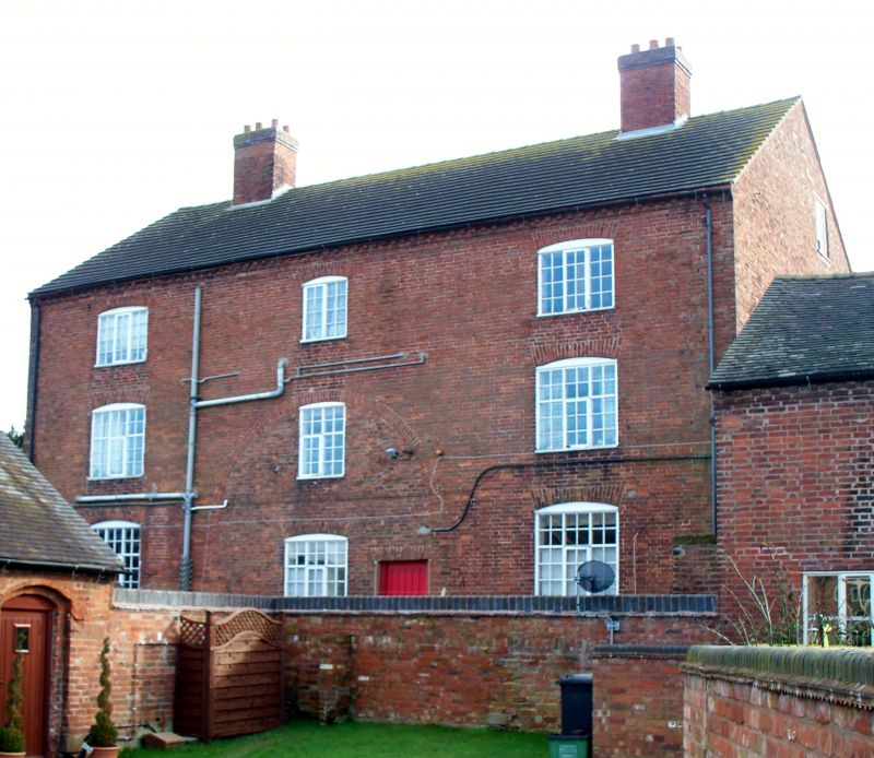
SJ 91 SW PENKRIDGE C.P. OTHERTON
6/74 Otherton Farmhouse
-
- II
Farmhouse. c.1800 with later alterations. Red brick; plain tile
roof; brick ridge stack. 3 storeys; 3 windows, casements with
segmental heads; central door.
Listing NGR: SJ9307612392
External links are from the relevant listing authority and, where applicable, Wikidata. Wikidata IDs may be related buildings as well as this specific building. If you want to add or update a link, you will need to do so by editing the Wikidata entry.


Other nearby listed buildings
