Approximate Location Map
Large Map »
Latitude: 53.7934 / 53°47'36"N
Longitude: -1.5407 / 1°32'26"W
OS Eastings: 430355
OS Northings: 433105
OS Grid: SE303331
Mapcode National: GBR BKM.MY
Mapcode Global: WHC9D.9XL9
Plus Code: 9C5WQFV5+9P
Entry Name: 10 and 12, Dock Street
Listing Date: 10 October 1990
Grade: II
Source: Historic England
Source ID: 1375344
English Heritage Legacy ID: 466239
ID on this website: 101375344
Location: Steander, Leeds, West Yorkshire, LS10
County: Leeds
Electoral Ward/Division: City and Hunslet
Parish: Non Civil Parish
Built-Up Area: Leeds
Traditional County: Yorkshire
Lieutenancy Area (Ceremonial County): West Yorkshire
Church of England Parish: Hunslet St Mary the Virgin
Church of England Diocese: Leeds
Tagged with: Building
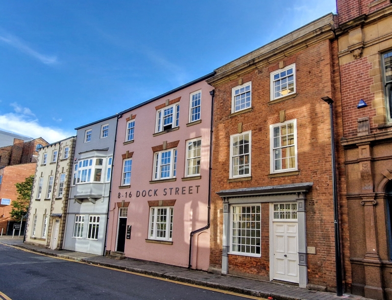
LEEDS
SE3033SW DOCK STREET
714-1/78/148 (South side)
10/10/90 Nos.10 AND 12
GV II
Possibly a warehouse, later a sailors' chapel. Mid-late C18
with change of use by 1831. Brick, rendered; roof not visible;
rebuilt stack to left. 3 storeys, 3 windows wide. Original
windows centre and left, plain architraves, keyblocks, moulded
sills; sashes with glazing bars, margin lights to top floor,
centre. Windows to right enlarged or inserted. 2 entrances to
left: No.12 with keyblock, both with overlight. Shop window
with C20 surround; keyblock remains above. Wide window with
header basket arch to upper floor, rear.
INTERIOR: not inspected.
Part of a row in Simpson's Fold in 1770, the similar
architectural features suggest that this was a warehouse
connected with No.8 (qv). The left entrance possibly opened
onto a passage through to the rear yard. The Sailors' Chapel
shown on the 1831 map was possibly only a part of the
building.
(Jefferys, T: A Plan of Leeds: 1770-; Fowler, C: Plan of the
Town of Leeds and its Environs: 1831-).
Listing NGR: SE3035533105
External links are from the relevant listing authority and, where applicable, Wikidata. Wikidata IDs may be related buildings as well as this specific building. If you want to add or update a link, you will need to do so by editing the Wikidata entry.


Other nearby listed buildings
