Latitude: 51.4978 / 51°29'52"N
Longitude: -0.0911 / 0°5'28"W
OS Eastings: 532601
OS Northings: 179379
OS Grid: TQ326793
Mapcode National: GBR RK.P7
Mapcode Global: VHGR0.CMP4
Plus Code: 9C3XFWX5+4H
Entry Name: Numbers 4, 10, 12 and 18 and Attached Railings
Listing Date: 17 September 1998
Grade: II
Source: Historic England
Source ID: 1385520
English Heritage Legacy ID: 470919
ID on this website: 101385520
Location: Southwark, London, SE1
County: London
District: Southwark
Electoral Ward/Division: Chaucer
Parish: Non Civil Parish
Built-Up Area: Southwark
Traditional County: Surrey
Lieutenancy Area (Ceremonial County): Greater London
Church of England Parish: Southwark Holy Trinity and St Matthew
Church of England Diocese: Southwark
Tagged with: Building
SOUTHWARK
TQ3279 FALMOUTH ROAD
636-1/5/335 (West side)
Nos.4, 10, 12 AND 18
and attached railings
GV II
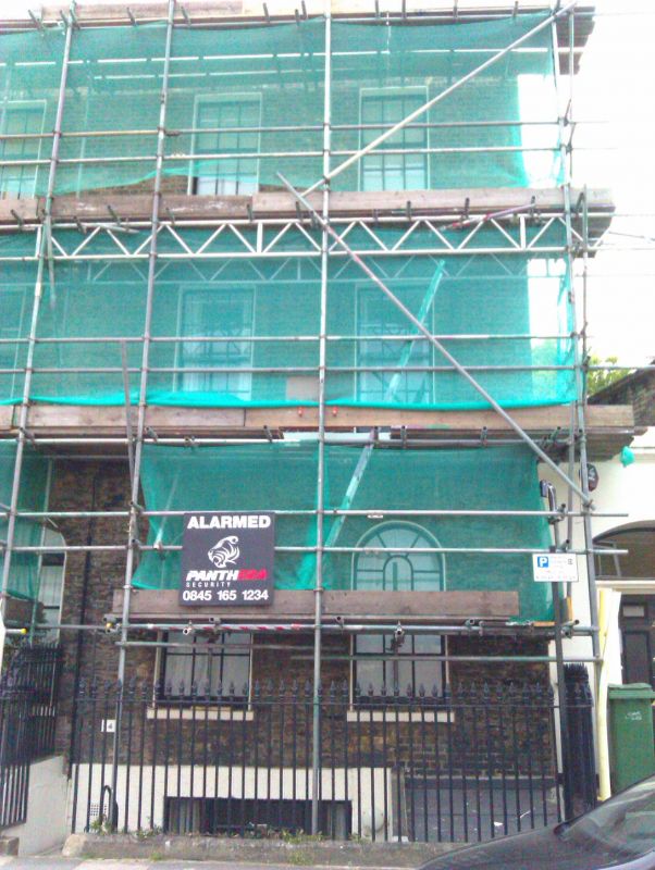
4 terraced houses, now converted to flats. 1835-41, altered
C20. Brick in Flemish bond with stucco facing and dressings.
Roofs parapeted.
EXTERIOR: 3 storeys over basement and 2 windows each, making
for a 16-window range to the long block. Original entrances
and numbering altered during recent conversion into flats.
Ground-floor openings are round-arched, those to current and
former entrances are larger than the pair of windows to the
side of each. Sill band to 1st floor, where the flat-arched
windows are set in shallow segmental-arched recesses. Gauged
brick lintels to 2nd-floor windows. Continuous entablature to
parapet. Stacks to party walls. 6x6 sashes of an authentic
design to all upper-floor windows; many ground-floor glazing
bars of an authentic design as well. Some entrances flanked by
Tuscan antae.
INTERIOR: not inspected.
SUBSIDIARY FEATURES: attached cast-iron area railings.
Nos 4-40 (even) Falmouth Road (qv) form a good group and were
originally called Taunton Place and Queen's Terrace (the
latter corresponding to the southern part of the surviving
row). The terraces were renamed Brunswick Street in 1851-2 and
Falmouth Road in 1867.
Listing NGR: TQ3260179379
External links are from the relevant listing authority and, where applicable, Wikidata. Wikidata IDs may be related buildings as well as this specific building. If you want to add or update a link, you will need to do so by editing the Wikidata entry.


Other nearby listed buildings