Approximate Location Map
Large Map »
Latitude: 51.8902 / 51°53'24"N
Longitude: -2.0836 / 2°5'1"W
OS Eastings: 394340
OS Northings: 221294
OS Grid: SO943212
Mapcode National: GBR 2MB.G1H
Mapcode Global: VH947.TRTC
Plus Code: 9C3VVWR8+3G
Entry Name: 10-16, Ashford Road
Listing Date: 23 April 1982
Grade: II
Source: Historic England
Source ID: 1386692
English Heritage Legacy ID: 474088
ID on this website: 101386692
Location: The Park, Cheltenham, Gloucestershire, GL50
County: Gloucestershire
District: Cheltenham
Electoral Ward/Division: Park
Parish: Non Civil Parish
Built-Up Area: Cheltenham
Traditional County: Gloucestershire
Lieutenancy Area (Ceremonial County): Gloucestershire
Church of England Parish: Leckhampton St Philip and St James
Church of England Diocese: Gloucester
Tagged with: Building
CHELTENHAM
SO9421SW ASHFORD ROAD
630-1/22/146 (North side)
23/04/82 Nos.10-16 (Even)
GV II
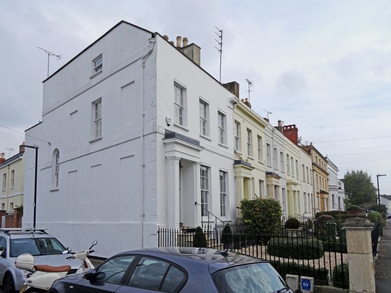
Terrace of 4 houses. Ashlar, now stuccoed, with artificial
slate roof; stuccoed party-wall stacks and iron balcony.
EXTERIOR: 2 storeys on basement, 12 first-floor windows (3 per
house). Incised first-floor band. 6/6 sashes where original,
taller to ground floor, those to left house have blind boxes.
Basement has 8/8 sashes. All windows in plain reveals and with
sills. Left entrances: 3-panel, part-glazed doors, the lower
panel with fluted surrounds. Solid porches have pillars with
Greek key motif and entablature.
INTERIOR: not inspected.
SUBSIDIARY FEATURES: balcony to No.12 has quatrefoil motif.
Listing NGR: SO9433021297
External links are from the relevant listing authority and, where applicable, Wikidata. Wikidata IDs may be related buildings as well as this specific building. If you want to add or update a link, you will need to do so by editing the Wikidata entry.


Other nearby listed buildings
