Approximate Location Map
Large Map »
Latitude: 53.3891 / 53°23'20"N
Longitude: -2.9404 / 2°56'25"W
OS Eastings: 337555
OS Northings: 388442
OS Grid: SJ375884
Mapcode National: GBR 7FW.X2
Mapcode Global: WH87F.T20N
Plus Code: 9C5V93Q5+JR
Entry Name: Boundary Wall and Gatepiers at Holt House
Listing Date: 17 June 1999
Grade: II
Source: Historic England
Source ID: 1387901
English Heritage Legacy ID: 475895
ID on this website: 101387901
Location: Sefton Park, Liverpool, Merseyside, L17
County: Liverpool
Electoral Ward/Division: Greenbank
Parish: Non Civil Parish
Built-Up Area: Liverpool
Traditional County: Lancashire
Lieutenancy Area (Ceremonial County): Merseyside
Church of England Parish: Toxteth Park St Agnes and St Pancras
Church of England Diocese: Liverpool
Tagged with: Wall
SJ3788 LIVERPOOL ULLET ROAD
392/33/10137 Boundary wall and gatepiers
at Holt House
GV II
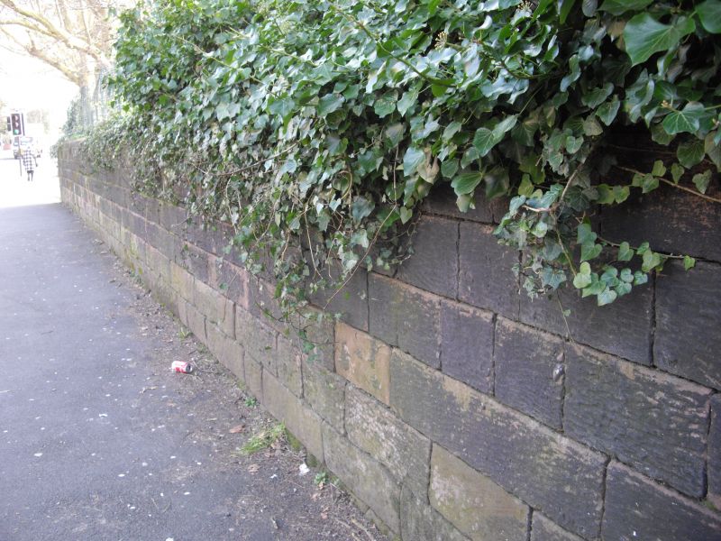
Boundary wall and entrance gatepiers. c.1879. Regularly coursed squared sandstone blocks with chamfered ashlar copings and pairs of square-sectioned ashlar gatepiers. The wall extends east-west along the Ullet Road frontage of Holt House and its gardens. The wall is approx. 80 metres in length and 1.5 metres high. Toward the western end of the wall, a pair of gatepiers, 2.5 metres high with recessed centre panels, and oversailing depressed pyramidal caps, and the remains of boarded and panelled double gates. At the eastern end of the boundary wall, a second pair of gate piers, 1.75 metres high, with rock-faced centre panels and very shallow pyramidal caps. A final stepped section of walling extends to the boundary of the adjacent lodge, (which is not of special interest). The wall and integral gatepiers define the street frontage of Holt House (item 392/33/10136) and form an important component of its setting. Listed for group value.
Listing NGR: SJ3755588442
External links are from the relevant listing authority and, where applicable, Wikidata. Wikidata IDs may be related buildings as well as this specific building. If you want to add or update a link, you will need to do so by editing the Wikidata entry.


Other nearby listed buildings
