Approximate Location Map
Large Map »
Latitude: 55.9314 / 55°55'53"N
Longitude: -2.3624 / 2°21'44"W
OS Eastings: 377457
OS Northings: 670989
OS Grid: NT774709
Mapcode National: GBR NFJ1.8GM
Mapcode Global: WH8WG.P58Q
Plus Code: 9C7VWJJQ+H3
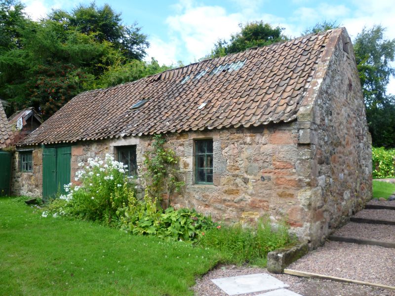
Entry Name: Smithy, Cockburnspath
Listing Name: Smithy, Cockburnspath
Listing Date: 9 June 1971
Category: B
Source: Historic Scotland
Source ID: 335247
Historic Scotland Designation Reference: LB4048
Building Class: Cultural
Also known as: Cockburnspath, Smithy
ID on this website: 200335247
Location: Cockburnspath
County: Scottish Borders
Electoral Ward: East Berwickshire
Parish: Cockburnspath
Traditional County: Berwickshire
Tagged with: Smithy
L-shape; pantiled roof.
External links are from the relevant listing authority and, where applicable, Wikidata. Wikidata IDs may be related buildings as well as this specific building. If you want to add or update a link, you will need to do so by editing the Wikidata entry.


Other nearby listed buildings
