Approximate Location Map
Large Map »
Latitude: 57.3497 / 57°20'58"N
Longitude: -2.7686 / 2°46'7"W
OS Eastings: 353843
OS Northings: 829060
OS Grid: NJ538290
Mapcode National: GBR M9J9.8DM
Mapcode Global: WH7M5.FJTH
Plus Code: 9C9V86XJ+VG
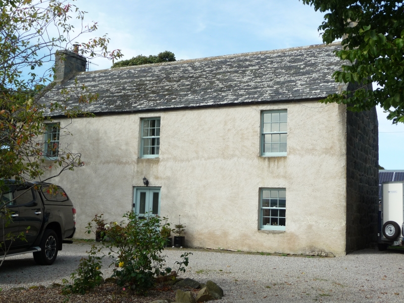
Entry Name: Lodge Of Kennethmont Farm
Listing Name: Lodge of Kennethmont Farm.
Listing Date: 11 September 1984
Category: C
Source: Historic Scotland
Source ID: 341438
Historic Scotland Designation Reference: LB9180
Building Class: Cultural
ID on this website: 200341438
Location: Kennethmont
County: Aberdeenshire
Electoral Ward: Huntly, Strathbogie and Howe of Alford
Parish: Kennethmont
Traditional County: Aberdeenshire
Tagged with: Farmstead
Former Mason Lodge (1822-1845) 2-storey 3-window harled,
no margins, to front, remainder exposed split boulder
rubble, windows widely spaced, coped chimneys; original
glazing, modern porch.
External links are from the relevant listing authority and, where applicable, Wikidata. Wikidata IDs may be related buildings as well as this specific building. If you want to add or update a link, you will need to do so by editing the Wikidata entry.


Other nearby listed buildings
