Approximate Location Map
Large Map »
Latitude: 55.8053 / 55°48'19"N
Longitude: -3.3141 / 3°18'50"W
OS Eastings: 317727
OS Northings: 657675
OS Grid: NT177576
Mapcode National: GBR 5199.9S
Mapcode Global: WH6TB.2B3X
Plus Code: 9C7RRM4P+49
Entry Name: Habbie's Howe Inn, Nine Mile Burn
Listing Name: Habbie's Howe Inn Nine Mile Burn
Listing Date: 22 January 1971
Category: C
Source: Historic Scotland
Source ID: 348075
Historic Scotland Designation Reference: LB14660
Building Class: Cultural
ID on this website: 200348075
Location: Penicuik
County: Midlothian
Electoral Ward: Penicuik
Parish: Penicuik
Traditional County: Midlothian
Tagged with: Hotel building
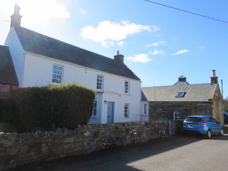
Later 18th cent. Trad. 2 storeys. 3-bay-front. Rendered.
Skew-gabled. Slated roof. Porch (quotation from 'Gentle
Shepherd') 1-storey wing (in random rubble) to N.
Perhaps originally New Spittal House
External links are from the relevant listing authority and, where applicable, Wikidata. Wikidata IDs may be related buildings as well as this specific building. If you want to add or update a link, you will need to do so by editing the Wikidata entry.


Other nearby listed buildings
