Approximate Location Map
Large Map »
Latitude: 55.9008 / 55°54'3"N
Longitude: -4.408 / 4°24'28"W
OS Eastings: 249545
OS Northings: 670144
OS Grid: NS495701
Mapcode National: GBR 3L.171D
Mapcode Global: WH3NT.8Y67
Plus Code: 9C7QWH2R+8R
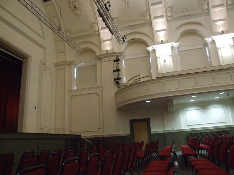
Entry Name: Municipal Buildings, 49 Dumbarton Road, Clydebank
Listing Name: Municipal Buildings Dumbarton Road
Listing Date: 5 March 1971
Category: B
Source: Historic Scotland
Source ID: 358725
Historic Scotland Designation Reference: LB22986
Building Class: Cultural
ID on this website: 200358725
Location: Clydebank
County: West Dunbartonshire
Town: Clydebank
Electoral Ward: Clydebank Waterfront
Traditional County: Dunbartonshire
Tagged with: Seat of local government
Renaissance, 1902. Two storeys. Clock tower. James Miller,
Architect, Glasgow
Clock tower focal point in Main Street
External links are from the relevant listing authority and, where applicable, Wikidata. Wikidata IDs may be related buildings as well as this specific building. If you want to add or update a link, you will need to do so by editing the Wikidata entry.


Other nearby listed buildings
