Approximate Location Map
Large Map »
Latitude: 57.6501 / 57°39'0"N
Longitude: -3.304 / 3°18'14"W
OS Eastings: 322272
OS Northings: 862995
OS Grid: NJ222629
Mapcode National: GBR L86H.P7D
Mapcode Global: WH6J7.6ZY6
Plus Code: 9C9RMM2W+3C
Entry Name: Wall, North College Street, Elgin
Listing Name: North College Street, Length of Walling Abutting North College Street and South College House to Pans Port
Listing Date: 20 August 1981
Category: C
Source: Historic Scotland
Source ID: 371993
Historic Scotland Designation Reference: LB30858
Building Class: Cultural
ID on this website: 200371993
Location: Elgin
County: Moray
Town: Elgin
Electoral Ward: Elgin City North
Traditional County: Morayshire
Tagged with: Architectural structure
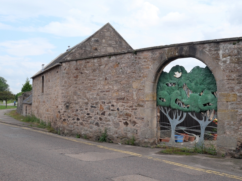
Length of rubble walling with tooled ashlar cope; arched
entrance to South College House; various blocked
entrances of 17th century date.
Walling appears to date from 17th century; some portions
possibly earlier and some later.
Former Item 174 (1981 Revised List).
External links are from the relevant listing authority and, where applicable, Wikidata. Wikidata IDs may be related buildings as well as this specific building. If you want to add or update a link, you will need to do so by editing the Wikidata entry.


Other nearby listed buildings
