Approximate Location Map
Large Map »
Latitude: 56.2226 / 56°13'21"N
Longitude: -2.7044 / 2°42'15"W
OS Eastings: 356418
OS Northings: 703560
OS Grid: NO564035
Mapcode National: GBR 2V.CY3H
Mapcode Global: WH7SM.FVFK
Plus Code: 9C8V67FW+26
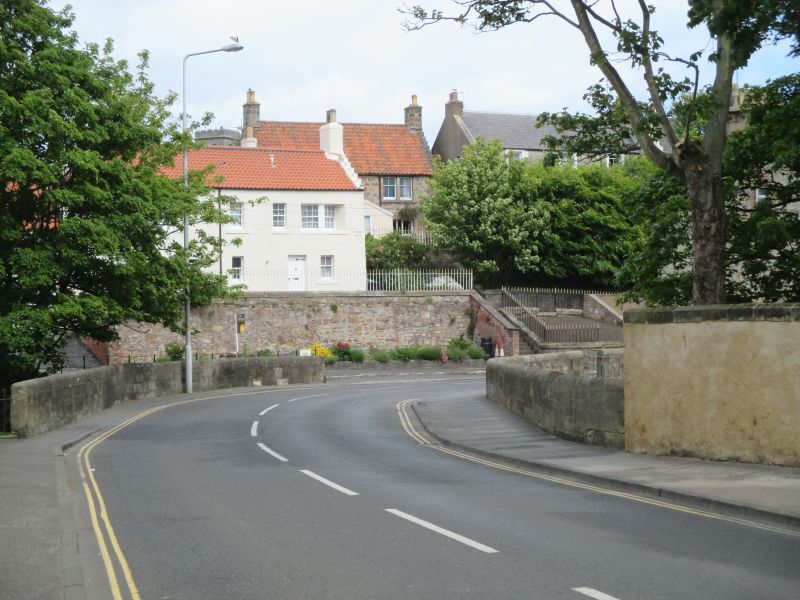
Entry Name: Dreel Burn Bridge, Anstruther Easter
Listing Name: Dreel Bridge
Listing Date: 9 May 1972
Category: C
Source: Historic Scotland
Source ID: 380916
Historic Scotland Designation Reference: LB36190
Building Class: Cultural
ID on this website: 200380916
Location: Kilrenny
County: Fife
Town: Kilrenny
Electoral Ward: East Neuk and Landward
Traditional County: Fife
Tagged with: Road bridge
Rebuilt 1831. Single segmental arch, widened on E side in recent times. Inset stone in parapet. "1630, rebuilt 1795".
Of value for west face only.
Re-categorised as C(S) from B for Group (2006). The listing relates specifically to the group interest of the subject. It applies, as always, to interior as well as exterior, as appropriate to building type.
External links are from the relevant listing authority and, where applicable, Wikidata. Wikidata IDs may be related buildings as well as this specific building. If you want to add or update a link, you will need to do so by editing the Wikidata entry.


Other nearby listed buildings
