Approximate Location Map
Large Map »
Latitude: 56.3398 / 56°20'23"N
Longitude: -2.7935 / 2°47'36"W
OS Eastings: 351043
OS Northings: 716661
OS Grid: NO510166
Mapcode National: GBR 2R.4GCT
Mapcode Global: WH7S0.2X17
Plus Code: 9C8V86Q4+WJ
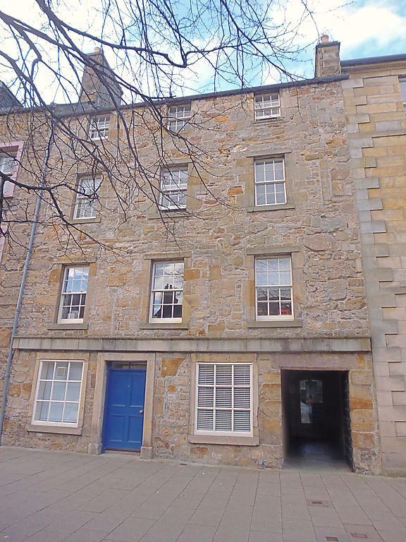
Entry Name: 67-69 South Street, St Andrews
Listing Name: 67, 69 South Street.
Listing Date: 28 April 1959
Category: A
Source: Historic Scotland
Source ID: 386575
Historic Scotland Designation Reference: LB40623
Building Class: Cultural
ID on this website: 200386575
Location: St Andrews
County: Fife
Town: St Andrews
Electoral Ward: St Andrews
Traditional County: Fife
Tagged with: House
16th cent. remodelled. 2-storey, 4-window frontage with 2
(timber framed) storeys added; rubble and slate; vaulted back
wing; pend with corbelling over at back and replica yett in
front; ground floor shop. Renovated 1974.
External links are from the relevant listing authority and, where applicable, Wikidata. Wikidata IDs may be related buildings as well as this specific building. If you want to add or update a link, you will need to do so by editing the Wikidata entry.


Other nearby listed buildings
