Approximate Location Map
Large Map »
Latitude: 52.075 / 52°4'30"N
Longitude: -3.126 / 3°7'33"W
OS Eastings: 322922
OS Northings: 242447
OS Grid: SO229424
Mapcode National: GBR F1.CF6T
Mapcode Global: VH6BJ.R3RM
Plus Code: 9C4R3VGF+2H
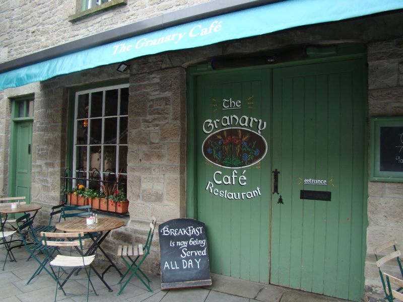
Entry Name: The Granary
Listing Date: 1 February 1988
Last Amended: 1 February 1988
Grade: II
Source: Cadw
Source ID: 7317
Building Class: Commercial
ID on this website: 300007317
Location: Near the top of the street, close to the Clock Tower.
County: Powys
Community: Hay (Y Gelli Gandryll)
Community: Hay
Built-Up Area: Hay-on-Wye
Traditional County: Brecknockshire
Tagged with: Building
Formerly a wool store and may have later been part of a large U-shaped complex incorporating the former agricultural hall in Lion Street.
Early C19 (shown on 1847 Tithe Map).
3-storey rubble front comprising two attached ranges with slate roofs and red brick chimney stacks; wide eaves to right. Broad 3-window front to left with plinth; 2-window front splayed back to right and further splayed back at extreme right end. Mostly small pane sash windows; fixed glazed small pane windows to ground floor left; the right hand range has modern windows to 2nd floor and Victorian sash windows to ground floor. Stone lintels to left and cambered voussoirs to right. Boarded loft door and winch to centre left over cart entrance (slightly cambered) with double boarded doors; 4-panel doors to either end with 3-pane overlights. Centre of right hand range has 6-panel door with pilastered doorcase; cellar opening to right.
Rubble rear with brick dressings and small pane casement windows; 2-storey rubble extension to right rear with blocked openings and modern kitchen lean-to. Whitewashed rubble interior, stone flagged; king-post roof construction.
Group value with other listed items in Broad Street.
External links are from the relevant listing authority and, where applicable, Wikidata. Wikidata IDs may be related buildings as well as this specific building. If you want to add or update a link, you will need to do so by editing the Wikidata entry.


Other nearby listed buildings
