Approximate Location Map
Large Map »
Latitude: 52.6747 / 52°40'29"N
Longitude: -3.0971 / 3°5'49"W
OS Eastings: 325917
OS Northings: 309125
OS Grid: SJ259091
Mapcode National: GBR B2.4G6H
Mapcode Global: WH79Q.D1F9
Plus Code: 9C4RMWF3+V5
Entry Name: Buttington Old Hall Farmhouse
Listing Date: 11 March 1981
Last Amended: 24 January 1995
Grade: II
Source: Cadw
Source ID: 7903
Building Class: Domestic
ID on this website: 300007903
Location: Located behind farm buildings, back from the main road on sloping ground, 7probably originally a platform site.
County: Powys
Community: Trewern (Tre-wern)
Community: Trewern
Traditional County: Montgomeryshire
Tagged with: Farmhouse
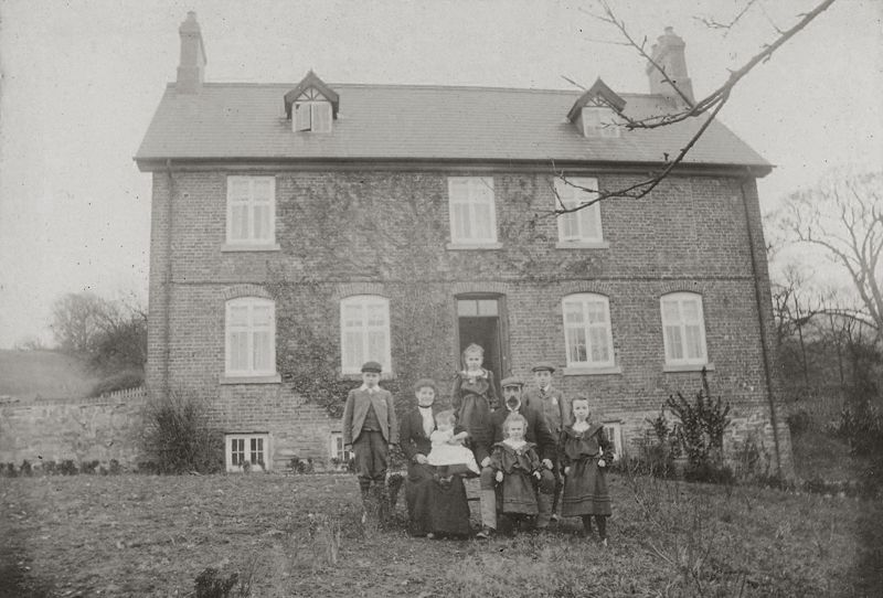
C18 2-storey and attic rubble stone farmhouse. Rubble stone, the upper floor of brick, all painted on S. front elevation. Slate roofs. Two storeys and attics, two parallel roofed blocks, the E side probably earlier, of stone, heightened in brickwork. Large brick stack central to valley. Lean-to outshut along N side of W block, containing farm entrance.
Main entrance over 8 steps on S elevation of E block; half-glazed door with overlight and moulded and panelled doorcase contained in open trellis porch. Small-paned timber windows, but C19 canted oriel window on ground floor of E block.
Interior has staircase with slender turned balusters.
An unusual example of an C18 farmhouse, although probably a major remodelling of an earlier building.
External links are from the relevant listing authority and, where applicable, Wikidata. Wikidata IDs may be related buildings as well as this specific building. If you want to add or update a link, you will need to do so by editing the Wikidata entry.


Other nearby listed buildings
