Approximate Location Map
Large Map »
Latitude: 52.0153 / 52°0'55"N
Longitude: -4.8319 / 4°49'54"W
OS Eastings: 205766
OS Northings: 238996
OS Grid: SN057389
Mapcode National: GBR CR.HB4D
Mapcode Global: VH2MZ.6LFX
Plus Code: 9C4Q2589+47
Entry Name: Lluest
Listing Date: 14 April 1992
Last Amended: 14 April 1992
Grade: II
Source: Cadw
Source ID: 12482
Building Class: Domestic
ID on this website: 300012482
Location: Situated on bend facing W, NW of Church of St Mary.
County: Pembrokeshire
Community: Newport (Trefdraeth)
Community: Newport
Built-Up Area: Newport
Traditional County: Pembrokeshire
Tagged with: House
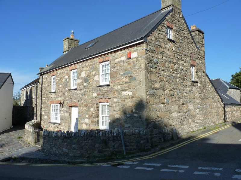
Early C19 house in whitewashed rubble stone with slate roof and stone end stacks. Broad two-storey, three-window front of sashes with recessed cambered stone voussoirs and raised keystones. Three 12-pane sashes above, one renewed 16-pane sash to ground floor right, centre C20 door with similar stone head and big C20 tripartite sash with flat lintel to left. Slate sills.
S end wall has loft window, rear has lean-tos each side of gabled stair tower, slate hung to S side. 12-pane stair light with brick head.
In front, a curved rubble wall encloses front garden with monolith piers and metal gate.
Group value with St Mary's Church.
External links are from the relevant listing authority and, where applicable, Wikidata. Wikidata IDs may be related buildings as well as this specific building. If you want to add or update a link, you will need to do so by editing the Wikidata entry.


Other nearby listed buildings
