Approximate Location Map
Large Map »
Latitude: 53.1801 / 53°10'48"N
Longitude: -4.0617 / 4°3'42"W
OS Eastings: 262316
OS Northings: 366761
OS Grid: SH623667
Mapcode National: GBR 5S.3PTP
Mapcode Global: WH54G.LB2F
Plus Code: 9C5Q5WJQ+28
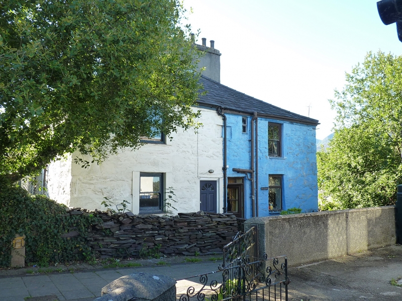
Entry Name: 10, John Street, Bethesda, Bangor, LL57 3AT
Listing Date: 25 April 1997
Last Amended: 25 April 1997
Grade: II
Source: Cadw
Source ID: 18414
Building Class: Domestic
ID on this website: 300018414
Location: Situated at upper end of winding street above High Street some 70m N of Capel Bethesda.
County: Gwynedd
Town: Bangor
Community: Bethesda
Community: Bethesda
Built-Up Area: Bethesda
Traditional County: Caernarfonshire
Tagged with: Building
Earlier C19 pair of houses, possibly originally built as a block of four in a form of back-to-back plan called cluster housing.
Colourwashed and has C20 door and overlight and one inserted small upper window to right of plaque. Side house has C20 windows and door.
Included for the unusual house plan, an early type of industrial housing.
External links are from the relevant listing authority and, where applicable, Wikidata. Wikidata IDs may be related buildings as well as this specific building. If you want to add or update a link, you will need to do so by editing the Wikidata entry.


Other nearby listed buildings
