Approximate Location Map
Large Map »
Latitude: 51.597 / 51°35'49"N
Longitude: -3.0001 / 3°0'0"W
OS Eastings: 330820
OS Northings: 189155
OS Grid: ST308891
Mapcode National: GBR J5.BQ2B
Mapcode Global: VH7BC.Y492
Plus Code: 9C3RHXWX+QW
Entry Name: Barrack Hill Canal Tunnel Portal
Listing Date: 28 August 2001
Last Amended: 28 August 2001
Grade: II
Source: Cadw
Source ID: 25735
Building Class: Transport
ID on this website: 300025735
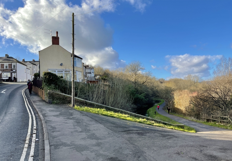
Location: Near the bottom of the very steep Barrack Hill just before it curves to S.
County: Newport
Town: Newport
Community: Shaftesbury
Community: Shaftesbury
Locality: Crindau
Built-Up Area: Newport
Traditional County: Monmouthshire
Tagged with: Canal tunnel
The eastern branch of the Monmouthshire and Brecon Canal was authorised by Act of Parliament in 1792 and officially opened in 1799. It ran from Newport to Pont Newynydd and was engineered by Thomas Dadford Jnr. The canal connected with several tramroads belonging to the same company (Monmouthshire Canal Navigation Company), carrying coal down to the wharves. The branch was 17.7 km long and rose 136.2 metres through 42 locks. The contemporary western branch, 19 kms long, ran to Crumlin. In 1812, the eastern branch was connected to the Brecon and Abergavenny Canal at Pontymoile Basin and this became the main line. In 1853-55, the Monmouthshire Railway and Canal Company built a railway down to Newport, the company amalgamating with the Great Western Railway in 1880. The canal then became increasingly disused. The Crumlin Branch closed in 1949, the main line in 1962. The tunnel would have been the last canal structure before the wharfs at Newport. First edition OS map shows its relatively short length, the stretch of canal beyond now destroyed though its route still indicated by surviving Canal Street which formerly led down to it. All traffic would have passed through the tunnel as it is sited lower than the division between the two branches, the W to Crumlin and E to Pontypool, Abergavenny and Brecon.
Canal tunnel portal. Of random rubble with tooled flat coping. The parapet is angled to the slope of the hill; round arch entrance with part-tooled voussoirs and keystone. Towpath is on E side; approach bank reinforced with stone Arch now has a wire mesh blocking, a sluice and grille in front and a broken electrical installation at side.
Listed as a surviving structure from this important canal complex.
External links are from the relevant listing authority and, where applicable, Wikidata. Wikidata IDs may be related buildings as well as this specific building. If you want to add or update a link, you will need to do so by editing the Wikidata entry.


Other nearby listed buildings
