Latitude: 51.7364 / 51°44'11"N
Longitude: -3.8243 / 3°49'27"W
OS Eastings: 274122
OS Northings: 205768
OS Grid: SN741057
Mapcode National: GBR H2.1SW8
Mapcode Global: VH4JS.NML6
Plus Code: 9C3RP5PG+H7
Entry Name: Nant Du Aqueduct on Swansea Canal (partly in Pontardawe community)
Listing Date: 20 December 2002
Grade: II
Source: Cadw
Source ID: 80811
Building Class: Transport
ID on this website: 300080811
Location: Situated approximately 60m SE of the Cwm Du bridge carrying the A4067 over the canal.
County: Neath Port Talbot
Community: Ystalyfera
Community: Ystalyfera
Locality: Ynysmeudwy
Built-Up Area: Pontardawe
Traditional County: Glamorgan
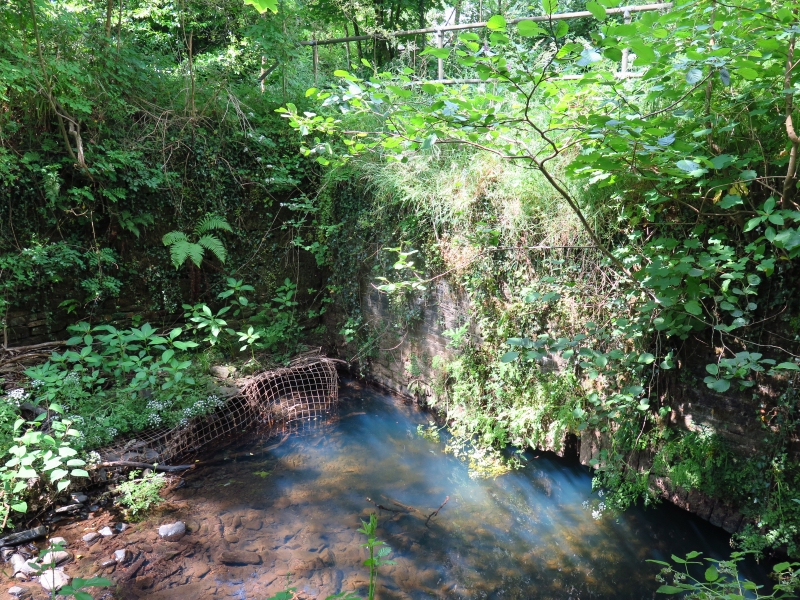
Late C18 aqueduct carrying Swansea Canal over Nant Du. The 16-mile Swansea Canal was opened in 1798 to Hen Neuadd, Abercraf, declined after the railway opened in 1852 and closed in 1931.
Small aqueduct on NE-SW axis. Squared stone with voussoirs to a segmental arch of some 0.6 metres in height and of 4.1 metres span.
Included for its group value with Ynysmeudwy Uchaf Bridge and the Cwmddu outfall and overflow sluice.


Other nearby listed buildings