Latitude: 51.7025 / 51°42'9"N
Longitude: -2.9049 / 2°54'17"W
OS Eastings: 337560
OS Northings: 200806
OS Grid: SO375008
Mapcode National: GBR J9.3XPM
Mapcode Global: VH79V.LGNQ
Plus Code: 9C3VP33W+22
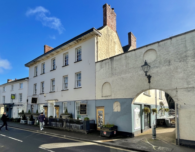
Entry Name: 47 & 49 and attached iron railings and attached archway
Listing Date: 1 April 1974
Last Amended: 30 April 2004
Grade: II
Source: Cadw
Source ID: 82779
Building Class: Domestic
ID on this website: 300082779
Location: Now forming the corner to the pedestrian access to the car-park to rear of shops on S Bridge Street.
County: Monmouthshire
Town: Usk
Community: Usk (Brynbuga)
Community: Usk
Built-Up Area: Usk
Traditional County: Monmouthshire
Tagged with: Building
Circa 1830.
Attached rough-cast wall at right side with arched carriage entrance to former yard at rear.
External links are from the relevant listing authority and, where applicable, Wikidata. Wikidata IDs may be related buildings as well as this specific building. If you want to add or update a link, you will need to do so by editing the Wikidata entry.


Other nearby listed buildings