Approximate Location Map
Large Map »
Latitude: 51.9498 / 51°56'59"N
Longitude: -3.3927 / 3°23'33"W
OS Eastings: 304377
OS Northings: 228835
OS Grid: SO043288
Mapcode National: GBR YP.M72Z
Mapcode Global: VH6BZ.48R4
Plus Code: 9C3RWJX4+WW
Entry Name: 12, The Postern
Listing Date: 16 December 1976
Last Amended: 4 November 2005
Grade: II
Source: Cadw
Source ID: 85610
ID on this website: 300085610
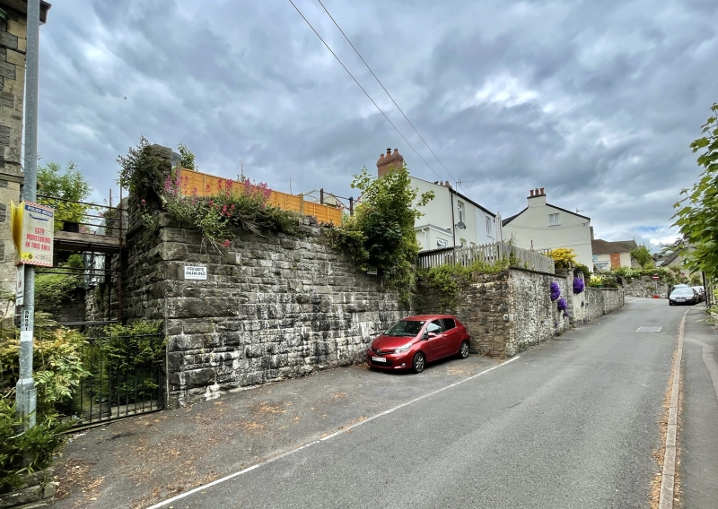
Location: Above street level. Set forward from houses to R.
County: Powys
Town: Brecon
Community: Brecon (Aberhonddu)
Community: Brecon
Built-Up Area: Brecon
Traditional County: Brecknockshire
Tagged with: Building
Mid C19 pair of two-storey cottages.
One-storey extension to No.12.
Retained on List despite alterations for Group Value with adjacent listed structures in The Postern.
External links are from the relevant listing authority and, where applicable, Wikidata. Wikidata IDs may be related buildings as well as this specific building. If you want to add or update a link, you will need to do so by editing the Wikidata entry.


Other nearby listed buildings
