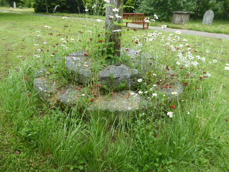
Latitude: 52.403 / 52°24'10"N
Longitude: -2.891 / 2°53'27"W
OS Eastings: 339480
OS Northings: 278709
OS Grid: SO394787
Mapcode National: GBR BB.PQY9
Mapcode Global: VH76C.VV0Q
Plus Code: 9C4VC435+6J
Entry Name: Church Cross Base South of Church of St Cuthbert
Listing Date: 28 May 1987
Grade: II
Source: Historic England
Source ID: 1054946
English Heritage Legacy ID: 257624
ID on this website: 101054946
Location: St Cuthbert's Church, Clungunford, Shropshire, SY7
County: Shropshire
Civil Parish: Clungunford
Traditional County: Shropshire
Lieutenancy Area (Ceremonial County): Shropshire
Church of England Parish: Clungunford
Church of England Diocese: Hereford
CLUNGUNFORD C.P. CLUNGUNFORD SO 37 NE 8/119 Churchyard cross base - south of Church of St. Cuthbert GV II
Cross base. Probably C14. Dressed stone. Circular plan base of 3 steps.
Listing NGR: SO3948078709


Other nearby listed buildings