Approximate Location Map
Large Map »
Latitude: 53.4041 / 53°24'14"N
Longitude: -2.9752 / 2°58'30"W
OS Eastings: 335264
OS Northings: 390135
OS Grid: SJ352901
Mapcode National: GBR 76P.FQ
Mapcode Global: WH877.8PHR
Plus Code: 9C5VC23F+JW
Entry Name: Number 52 (West)
Listing Date: 14 March 1975
Last Amended: 19 June 1985
Grade: II
Source: Historic England
Source ID: 1070608
English Heritage Legacy ID: 359122
ID on this website: 101070608
Location: Liverpool, Merseyside, L3
County: Liverpool
Electoral Ward/Division: Central
Parish: Non Civil Parish
Built-Up Area: Liverpool
Traditional County: Lancashire
Lieutenancy Area (Ceremonial County): Merseyside
Church of England Parish: St Luke in the City Team
Church of England Diocese: Liverpool
Tagged with: Building
SJ 3590 MOUNT PLEASANT
(south side)
L3
54/781 No. 52 (west)
(formerly listed
14.3.75. with No. 52
(east) & No. 54)
G.V. II
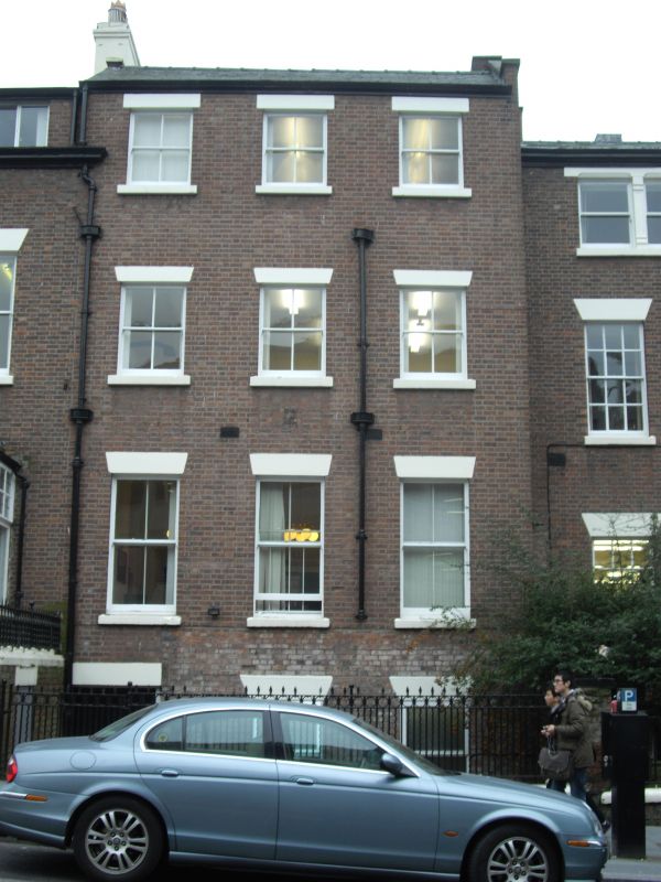
House, now part of office. Late C18. Brick with stone
dressings, slate roof. 3 storeys with late C19 projecting
basement storey, 3 bays. Windows have wedge lintels and
are sashed with no glazing bars.
Listing NGR: SJ3526490135
External links are from the relevant listing authority and, where applicable, Wikidata. Wikidata IDs may be related buildings as well as this specific building. If you want to add or update a link, you will need to do so by editing the Wikidata entry.


Other nearby listed buildings
