Latitude: 52.3215 / 52°19'17"N
Longitude: -2.0103 / 2°0'37"W
OS Eastings: 399392
OS Northings: 269264
OS Grid: SO993692
Mapcode National: GBR 2G6.GKS
Mapcode Global: VH9ZM.3XK7
Plus Code: 9C4V8XCQ+HV
Entry Name: Worcester and Birmingham Canal, Lock Number 58 Including Side Pond Retaining Wall and Sluice Immediately South
Listing Date: 1 December 1992
Grade: II
Source: Historic England
Source ID: 1078238
English Heritage Legacy ID: 355192
ID on this website: 101078238
Location: Tardebigge, Bromsgrove, Worcestershire, B60
County: Worcestershire
District: Bromsgrove
Civil Parish: Tutnall and Cobley
Traditional County: Worcestershire
Lieutenancy Area (Ceremonial County): Worcestershire
Church of England Parish: Tardebigge
Church of England Diocese: Worcester
Tagged with: Lock
The following buildings shall be added:
SO 96 NE TUTNALL AND COBLEY WORCESTER AND BIRMINGHAM CANAL TARDEBIGGE
1655-/9/10002 Lock No. 58 including side-pond retaining wall and sluice immediately south
GV II
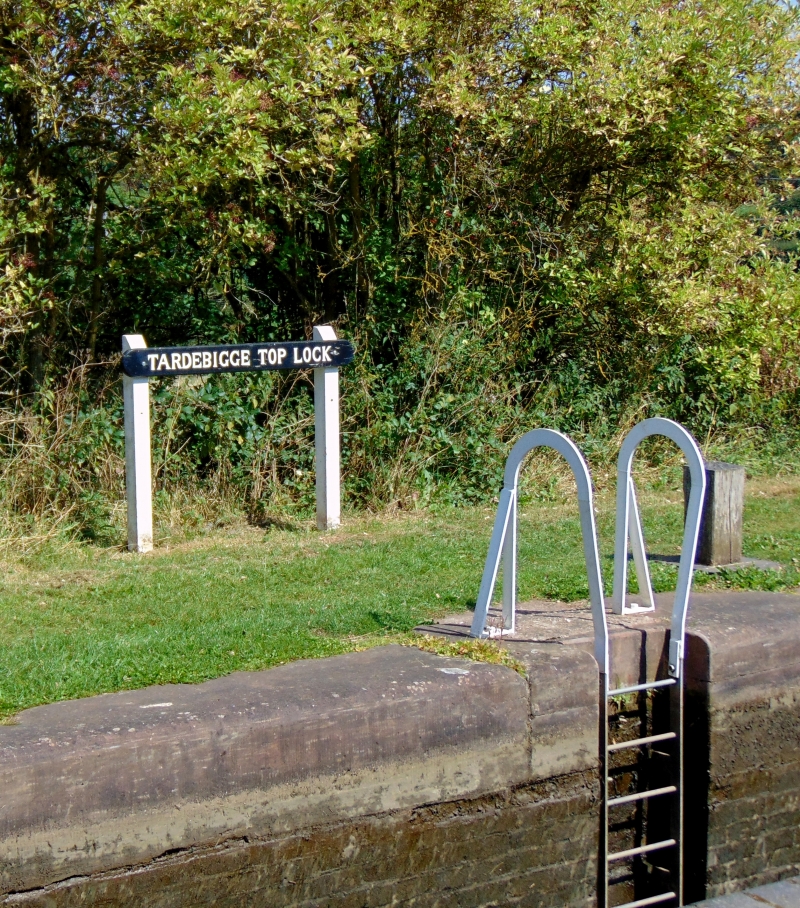
Canal lock, side-pond and sluice. Circa 1812-13 with later C19 and C20 repairs. English bond blue and red brick with some sandstone coping and dressed sandstone wall to side-pond. Narrow lock, about 14 feet deep with splayed wing walls at either end. The north wall of the lower west end has integral flight of steps. Rebuilt wooden gates with mechanical gate-paddle machinery intact. Remains of side-pond on south side with dressed sandstone retaining wall and remains of sluice-gate superstructure. NOTE: The Worcester and Birmingham Canal was authorised in 1791. With Thomas Cartwright as the engineer work begun at the Birmingham end in 1795 and it was completed to Tardebigge in 1807. In 1809 Cartwright was replaced by John Woodhouse who built a lift instead of the proposed flight of docks. Trials for the lifts started in 1810, but it was abandoned in favour of the locks on Rennie's advice. In 1812 construction commenced on the Tardebigge flight and it was completed in 1813. Lock 58 is the top lock of the flight and the deepest (14ft against 7ft for other locks). It is on the site of the lift which was dismantled in 1814 but used in the construction of the Tardebigge flight of locks. SOURCES: Charles Hadfield, The Canals of the West Midlands, pp 135-146.
Listing NGR: SO9939269264
External links are from the relevant listing authority and, where applicable, Wikidata. Wikidata IDs may be related buildings as well as this specific building. If you want to add or update a link, you will need to do so by editing the Wikidata entry.


Other nearby listed buildings