Latitude: 54.1375 / 54°8'15"N
Longitude: -3.102 / 3°6'7"W
OS Eastings: 328100
OS Northings: 471860
OS Grid: SD281718
Mapcode National: GBR 6NSL.7K
Mapcode Global: WH72K.B83F
Plus Code: 9C6R4VQX+26
Entry Name: Limekiln at SD 281 718
Listing Date: 5 March 1990
Grade: II
Source: Historic England
Source ID: 1086836
English Heritage Legacy ID: 75774
ID on this website: 101086836
Location: Baycliff, Westmorland and Furness, Cumbria, LA12
County: Cumbria
District: South Lakeland
Civil Parish: Aldingham
Traditional County: Lancashire
Lieutenancy Area (Ceremonial County): Cumbria
Church of England Parish: Aldingham St Cuthbert
Church of England Diocese: Carlisle
Tagged with: Lime kiln
ALDINGHAM SCALES
SD 27 SE
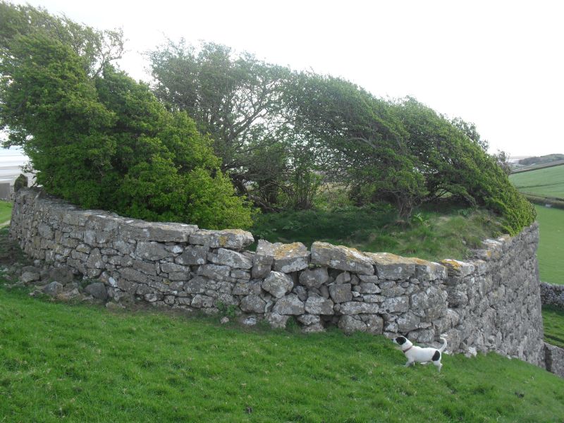
Limekiln at SD 281 718
19/2
II
Limekiln. Probably C19. Coursed rubble. Large structure with splayed sides
built into side of hill. Segmental-headed firehole covered by lean-to shed
with corrugated iron roof.
Listing NGR: SD2810071860
External links are from the relevant listing authority and, where applicable, Wikidata. Wikidata IDs may be related buildings as well as this specific building. If you want to add or update a link, you will need to do so by editing the Wikidata entry.


Other nearby listed buildings