Latitude: 50.8995 / 50°53'58"N
Longitude: -1.4066 / 1°24'23"W
OS Eastings: 441828
OS Northings: 111277
OS Grid: SU418112
Mapcode National: GBR RQC.KB
Mapcode Global: FRA 76YQ.MVD
Plus Code: 9C2WVHXV+Q9
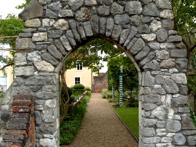
Entry Name: Archway from St Denys Priory, in the Grounds of Tudor House Museum, Situated to South of the Rear Wall of King John's Palace
Listing Date: 8 October 1981
Grade: II
Source: Historic England
Source ID: 1092059
English Heritage Legacy ID: 135746
ID on this website: 101092059
Location: Southampton, Hampshire, SO14
County: City of Southampton
Electoral Ward/Division: Bargate
Parish: Non Civil Parish
Built-Up Area: Southampton
Traditional County: Hampshire
Lieutenancy Area (Ceremonial County): Hampshire
Church of England Parish: Southampton City Centre St Mary
Church of England Diocese: Winchester
Tagged with: Archway
1. BUGLE STREET 5239 (west side)
Archway from St Denys Priory, in the grounds of Tudor House Museum, situated to south of the rear wall of King John's Palace SU 4111 3/54
II
2. C14. An archway from St Denys Priory which was originally founded by Henry I for Austin Canons about 1124 and rebuilt after the French raid of 1338. This was re-erected from its original site near Priory Avenue. Stone rubble wall having pointed arch with drip moulding (see also remains of the Priory of St Denys in the back garden of Nos 1 and 2 Priory Avenue, (q.v.) and Church of St Denys, St Denys Road (q.v.).
Listing NGR: SU4186211222
External links are from the relevant listing authority and, where applicable, Wikidata. Wikidata IDs may be related buildings as well as this specific building. If you want to add or update a link, you will need to do so by editing the Wikidata entry.


Other nearby listed buildings