Approximate Location Map
Large Map »
Latitude: 51.9732 / 51°58'23"N
Longitude: -2.8936 / 2°53'36"W
OS Eastings: 338715
OS Northings: 230898
OS Grid: SO387308
Mapcode National: GBR FB.KYP3
Mapcode Global: VH78H.SNNR
Plus Code: 9C3VX4F4+7H
Entry Name: Dore Bridge
Listing Date: 21 February 1986
Grade: II
Source: Historic England
Source ID: 1099799
English Heritage Legacy ID: 155059
ID on this website: 101099799
Location: Abbey Dore, County of Herefordshire, HR2
County: County of Herefordshire
Civil Parish: Abbey Dore
Traditional County: Herefordshire
Lieutenancy Area (Ceremonial County): Herefordshire
Church of England Parish: Abbeydore
Church of England Diocese: Hereford
Tagged with: Bridge
SO 33 SE ABBEY DORE CP -
5/7 Dore Bridge
II
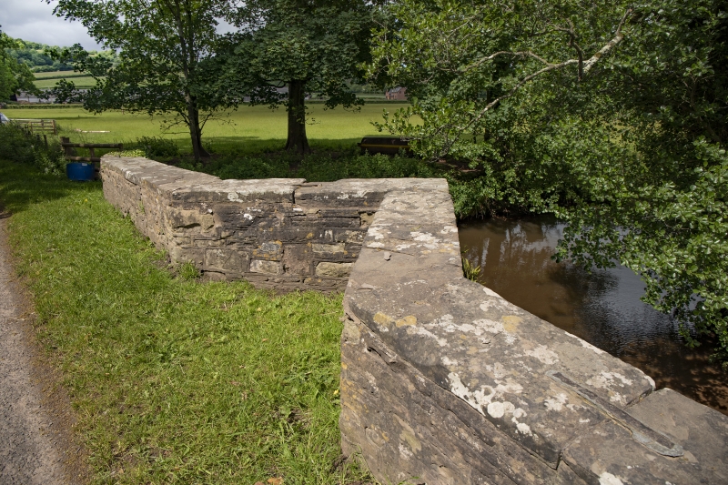
Bridge over River Dore. Probably early C19, probably with earlier origins.
Sandstone rubble and sandstone dressings. Two spans each with segmental
heads and dressed voussoirs, divided on each side by a cutwater which
carries up into a refuge at the centre of cambered parapets with flat
copings.
Listing NGR: SO3871530898
External links are from the relevant listing authority and, where applicable, Wikidata. Wikidata IDs may be related buildings as well as this specific building. If you want to add or update a link, you will need to do so by editing the Wikidata entry.


Other nearby listed buildings
