Latitude: 54.1127 / 54°6'45"N
Longitude: -1.5718 / 1°34'18"W
OS Eastings: 428089
OS Northings: 468616
OS Grid: SE280686
Mapcode National: GBR KNGW.HH
Mapcode Global: WHC7T.TWPJ
Plus Code: 9C6W4C7H+37
Entry Name: Grotto on North Side of Reservoir
Listing Date: 11 June 1986
Grade: II
Source: Historic England
Source ID: 1150616
English Heritage Legacy ID: 331088
ID on this website: 101150616
Location: North Yorkshire, HG4
County: North Yorkshire
District: Harrogate
Civil Parish: Lindrick with Studley Royal and Fountains
Traditional County: Yorkshire
Lieutenancy Area (Ceremonial County): North Yorkshire
Tagged with: Grotto
SE 2868
9/84
LINDRICK WITH STUDLEY ROYAL AND FOUNTAINS
STUDLEY PARK
Grotto on north side of Reservoir
GV
II
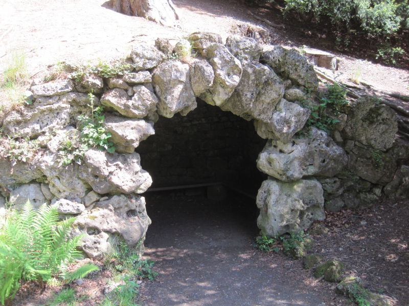
Grotto. c1730, probably by Robert Doe, for John Aislabie. Tufa and
limestone rubble, part rock-cut. An artificial cave approximately 3 metres
wide, 2 metres long and 2 metres high in the middle. Narrow segmental-
arched entrance of large tufa blocks, barrel-vaulted roof. Similar in style
to the Octagon Tower tunnel and Rustic Bridge (qv)
Listing NGR: SE2808968616
External links are from the relevant listing authority and, where applicable, Wikidata. Wikidata IDs may be related buildings as well as this specific building. If you want to add or update a link, you will need to do so by editing the Wikidata entry.


Other nearby listed buildings